Auckland Transport (AT) is designing a cycling and walking path that will connect Waterview and Mt Albert. The shared path is being built by the Well-Connected Alliance as part of the NZ Transport Agency's Waterview Connection Project.
Project overview
Waterview Shared Path is around 2.5km long. From Alan Wood reserve off New North Road, it follows the route of Te Auaunga/Oakley Creek to connect with Great North Road. It will be accessible from several points along the way, including Phyllis Reserve and the Unitec campus. Three new bridges will be built along the route.
The path will add to Auckland’s growing cycling and walking network, connecting with the north-western cycle route along SH16 and with shared paths to Onehunga and New Lynn.
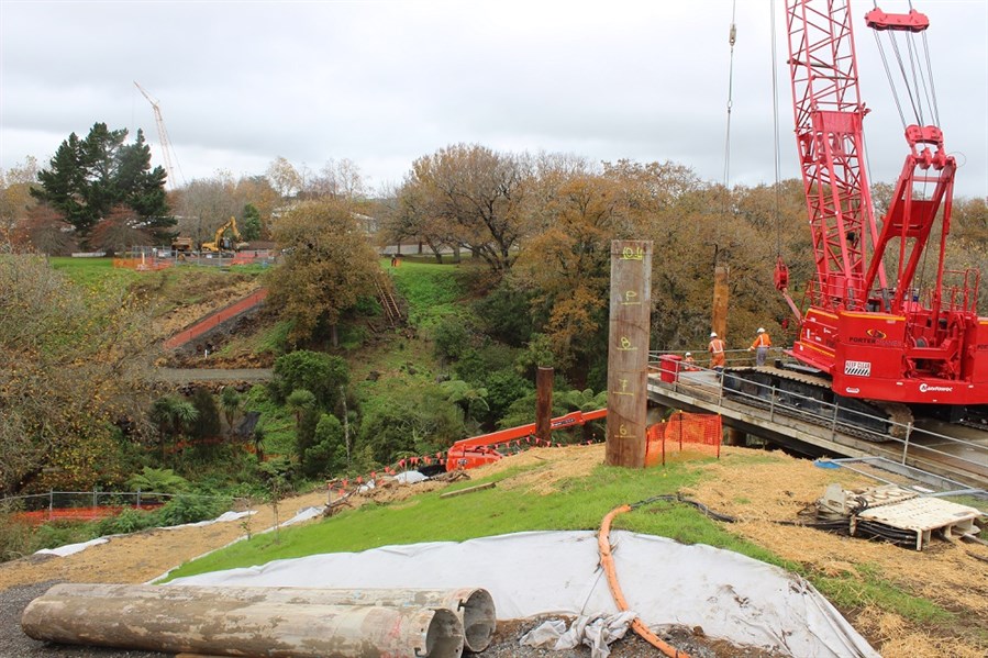
Construction of the shared path began in March 2016 and is expected to be completed by mid-2017.
Project details
- The path will be around 3.5 metres wide and constructed in concrete.
- It will be of a low gradient to enable accessibility for all users.
- It will be well lit to provide a high level of safety.
- It will allow for future development of Albie Turner Field and Phyllis Reserve by keeping mainly to the perimeter of these parks.
- AT plans to install traffic lights at the intersection of New North Road, Soljak Place and Bollard Avenue to provide a safe crossing for cyclists and pedestrians.
- AT has engaged with local landowners to finalise the route the path will take.
New bridges
Three bridges will be built along the route. The two bridges at the Waterview and Mt Albert ends of the route cross Te Auaunga/Oakley Creek and the western rail line to connect communities to the path.
The three bridges include: 
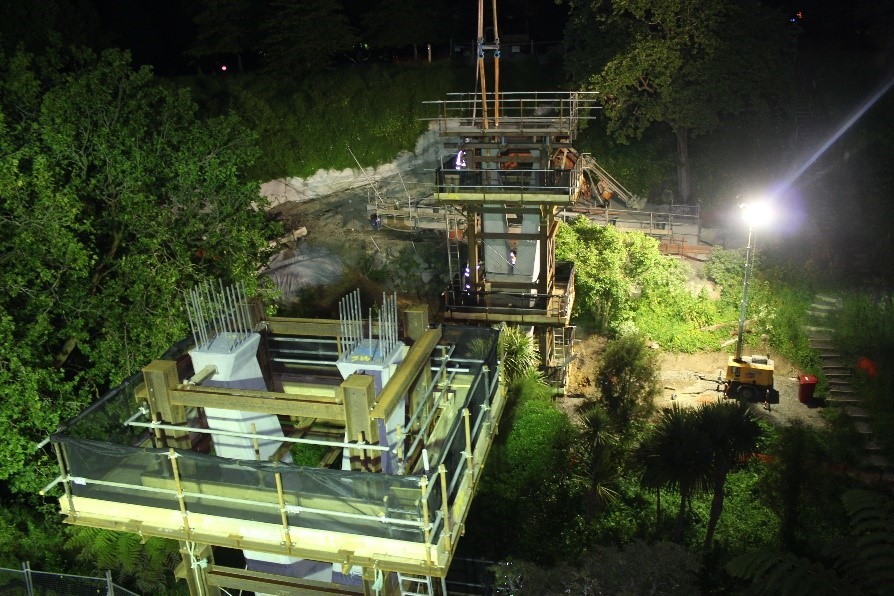
- Alford Street Bridge - 16m high and 90m long, crossing over Te Auaunga/Oakley Creek near Great North Road.
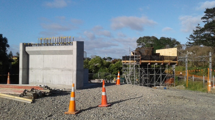
- Soljak Place Bridge - 6m high and 30m long, crossing over the western rail line to connect with Soljak Place.
- Phyllis to Harbutt Boardwalk - 2m high and 70m long, creating a link between Harbutt Reserve and Phyllis Reserve.
Planning and construction
The Waterview Shared Path will provide local connections for communities. Auckland Transport (AT) has consulted local residents, reached agreements with some of the affected property owners and developed a design for the path.
The Well-Connected Alliance who have built the Waterview Connection tunnel and Great North Road Interchange are also building this shared path.


