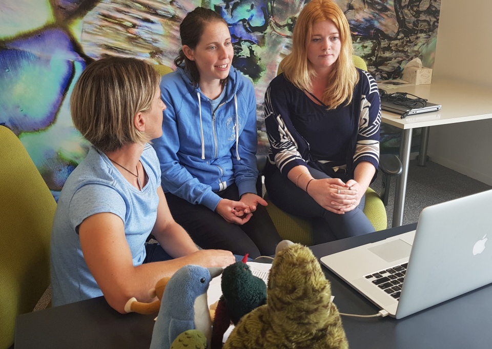
Web conferences with schools are hosted live from the field by the LEARNZ Teacher and are coordinated by the LEARNZ Office. More about web conferences.
To book as a speaking school, email Shelley the LEARNZ Teacher shelley.hersey@core-ed.org.
| Web conference date |
Time |
Location; Where are you? |
Topic |
Experts |
Speaking Schools |
Recording |
| Tuesday 22 May |
9.15am |
Christchurch |
Navigation technology and self-driving cars |
Dave Verma and Kate Matthews |
Havelock North High School, Year 10 Science and Hinds School, Year 7-8 (scroll down for questions) |
Replay at https://vimeo.com/271176835 (38 minutes - the password for accessing web conference recordings is in your teacher's MyLEARNZ). |
| Wednesday 23 May |
9.15am |
Invercargill |
Satellite technology, drones and using GIS to manage the local environment eg forestry |
Robin McNeill |
Ohaeawai School, Year 5-6 and Adventure School, Year 5-6 (scroll down for questions) |
Replay at https://vimeo.com/271371149 (36 minutes - the password for accessing web conference recordings is in your teacher's MyLEARNZ). |
| Thursday 24 May |
9.15am |
Dunedin |
Surveying and locating property boundaries |
Chris Pearson |
Tauranga Intermediate School, Year 8 and Adventure School, Year 5-6 (scroll down for questions) |
Replay at https://vimeo.com/271567109 (32 minutes - the password for accessing web conference recordings is in your teacher's MyLEARNZ). |
Questions for Web Conference #1
Questions from Hinds School, Year 7-8
- How did they launch satellites into space?
- What is the best part of your job and what have you learned throughout your job?
- What is a satellite made of and how does it work?
- Explain how self driving vehicles work and why they are important?
- What are the dangers of self driving cars?
- What do you see the future looking like in terms of GPS systems?
Questions from Havelock North High School, Year 10 Science
- In New Zealand do we use the American Army maintained satellites for GPS.
- Can GPS signals travel through the concrete of a building, what else can limit GPS signals?
- Why can't we use cell phones on air planes?
- Do GPS satellites experience gravity?
Questions for Web Conference #2
Questions from Ohaeawai School
- Sara - How do automated unmanned drones fly by themselves?
- Charlie Jo - How do satellites reach the orbit and in which direction do they go?
- Rico - Does NZ have its own satellites to transmit signals back to us?
- Mosese - What training would you have to do to become trained in GIS systems?
- Kayne - In the Far North we have a lot of forestry on very hilly land - what type of equipment is used to work out where to plant the trees?
Questions from Adventure School
- How do GPS devices connect to satellites?
- What does GIS stand for and what is it used For?
- How might our environment be helped by GIS and GPS technology?
- What do you use drones for?
Questions for Web Conference #3
Questions from Tauranga Intermediate School
- What kind of mapping/navigation do you predict we will have in the future?
- When did people start using GPS?
- Roughly, how many GPS satellites are there?
- How does the GPS signal get down to earth?
- What jobs use GIS and how does GIS work?
Questions from Adventure School
- Who invented GPS and GIS
- How do you get accurate enough GPS for creating boundary lines?
- What happens if there is no internet or satellite available when you are working?
- How do tectonic plates move and how do you measure this movement?
