You can contact LEARNZ, part of CORE Education, at:
Postal Address:
PO Box 13 678,
Christchurch 8141,
New Zealand
Photos appear here each day from the Diaries of the Land, Sky and Space field trip in 2018.
Other pages with photos:
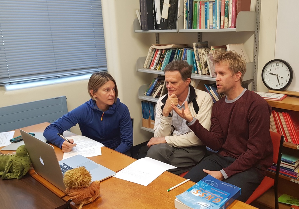
Shelley, Chris and Robert talk to students from Tauranga Intermediate School and Adventure School during the last field trip web conference. Image: LEARNZ.
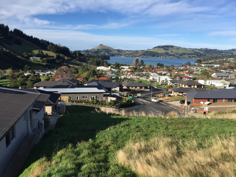
Looking out over a new subdivision in Sawyers Bay where surveyors have surveyed and mapped property boundaries. Why do you think these boundaries need to be accurately mapped? Image: LEARNZ.
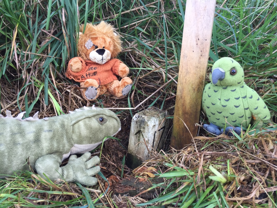
The ambassadors find a peg marking a property boundary. What are these pegs used for? Image: LEARNZ.
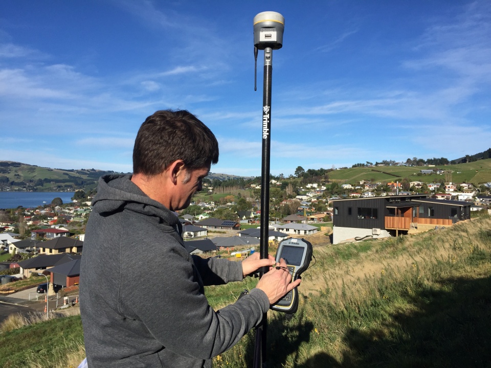
Richard sets up a GPS antennae and receiver to measure property boundaries. Image: LEARNZ.
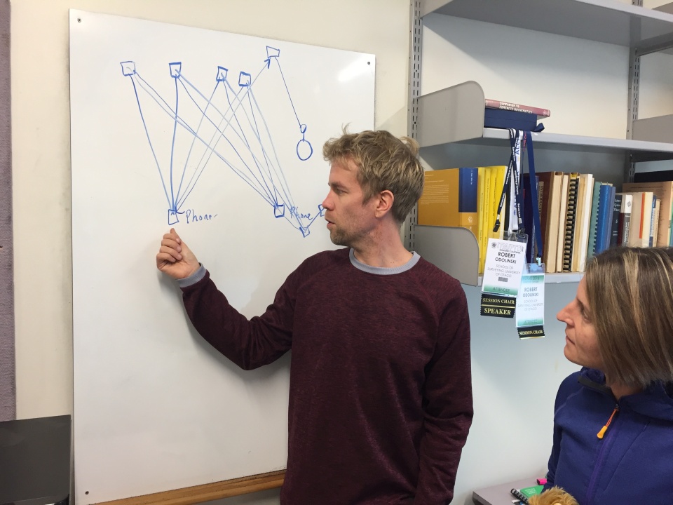
Robert shows Shelley how a phone receives signals from satellites. The more signals it receives the more accurately it can calculate its location. Image: LEARNZ.
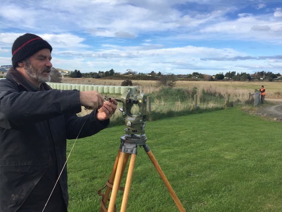
This surveyor is using an old theodolite and chain to make measurements. Image: LEARNZ.
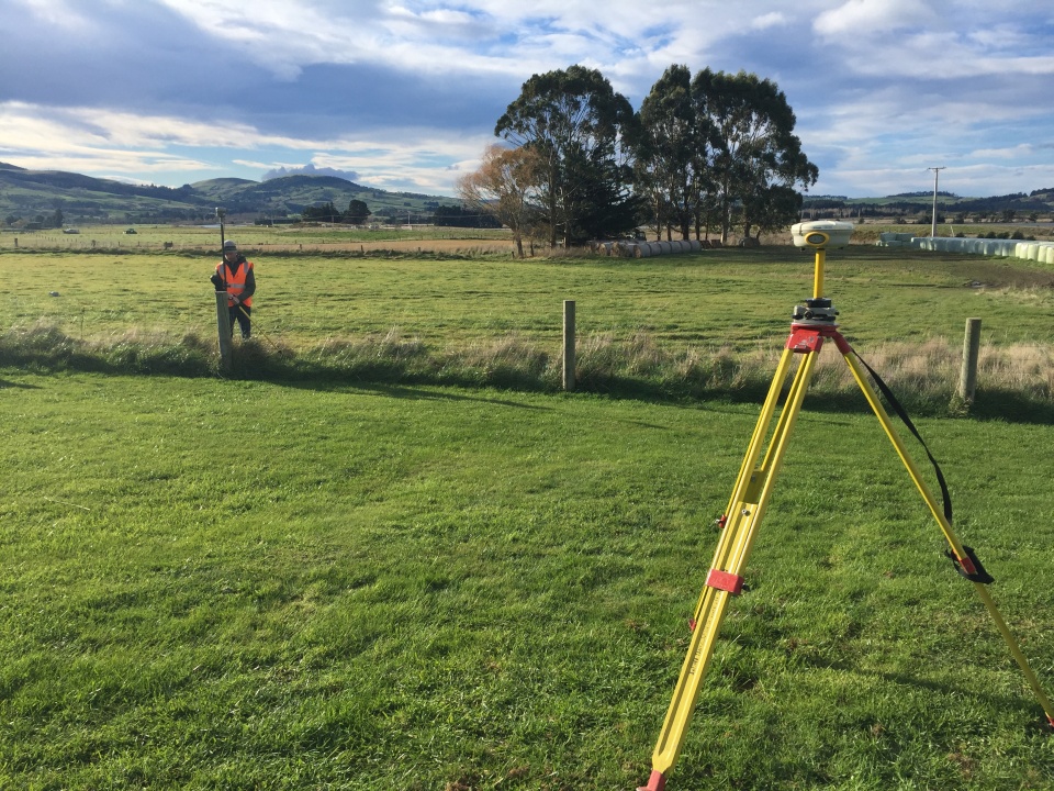
Now surveyors can use equipment that uses GPS satellite signals. This is an RTK (Real Time Kinematic) surveying instrument set. Image: LEARNZ.
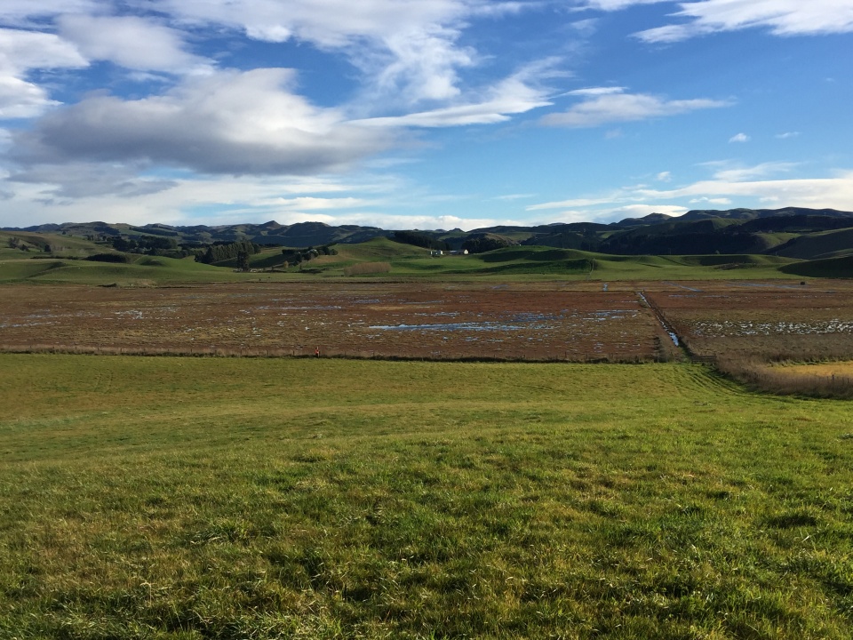
This wetland is on private property. It has been surveyed and placed under a QEII covenant to protect it. Image: LEARNZ.
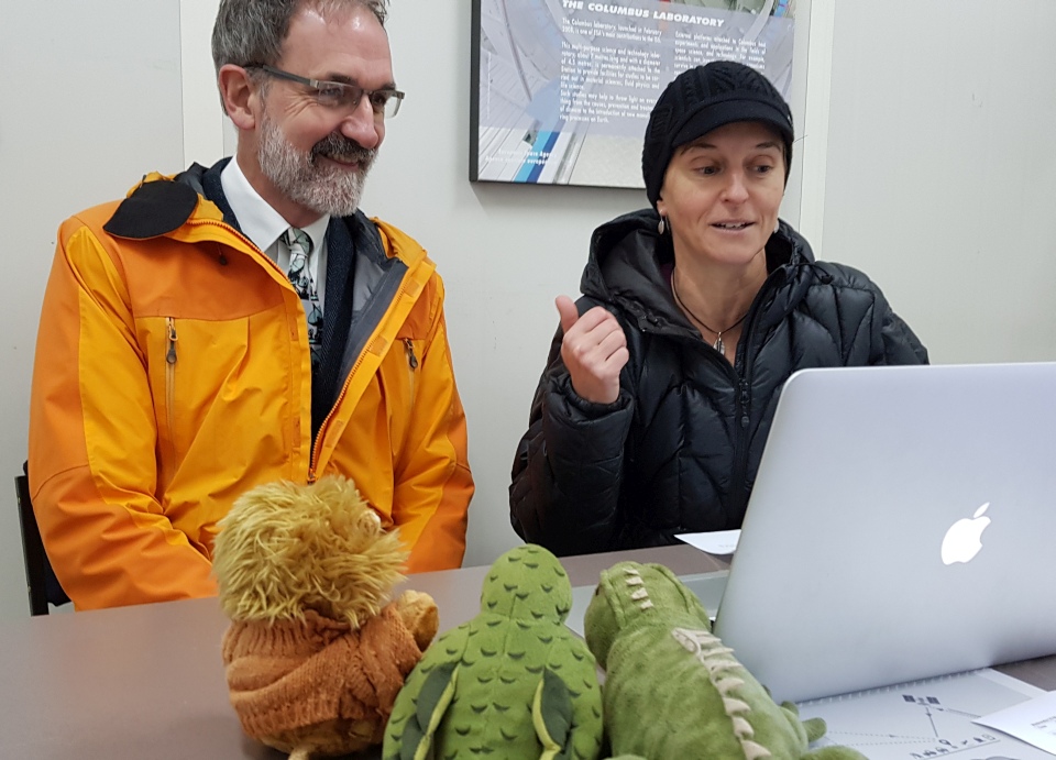
Shelley introduces Robin McNeil during today's web conference. Image: LEARNZ.
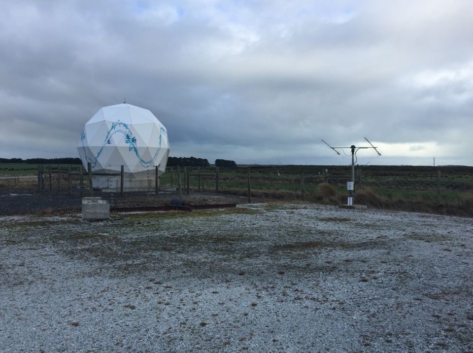
The Awarua Satellite Ground Station has equipment that links to satellites in space. Image: LEARNZ.
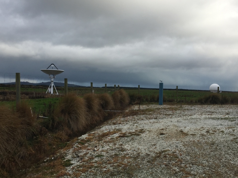
You can see a satellite dish to the left and another dish which is protected by a dome. Why do you think it needs this dome? Image: LEARNZ.
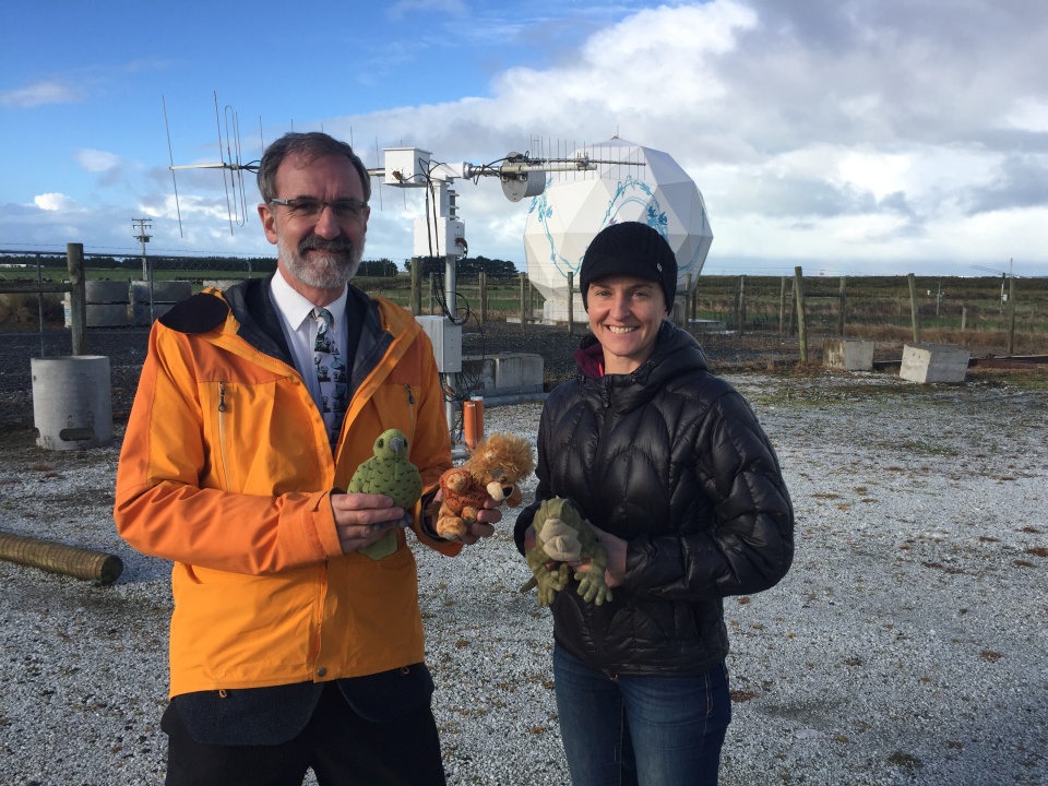
Robin is the dishmaster at Awarua Satellite Ground Station and he enjoyed showing Shelley and the ambassadors around the station. Image: LEARNZ.
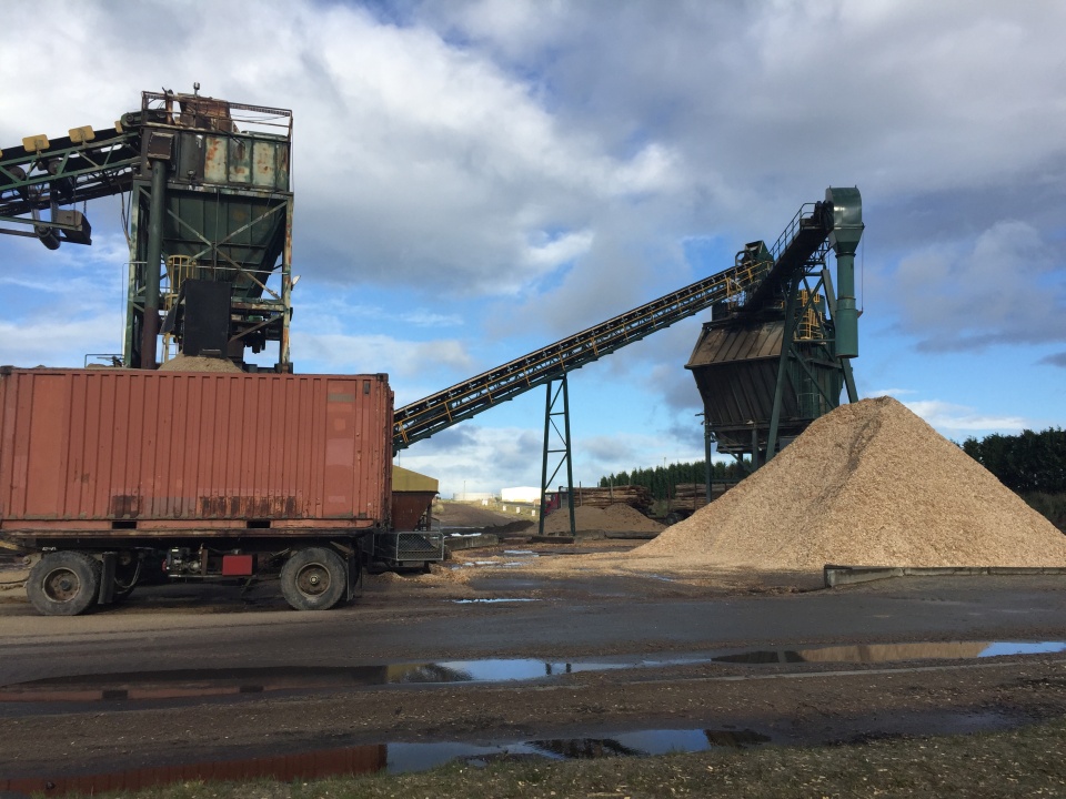
You visited the Southwood Export chip mill where logs are turned into chip so they can be exported to make into paper products. How is satellite-based navigation used in this industry? Image: LEARNZ.
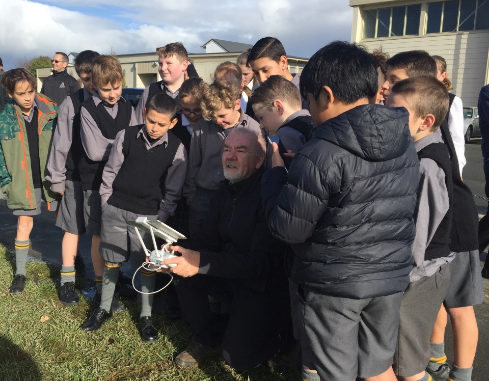
Students watch David controlling the drone with a remote control unit. Image: LEARNZ.
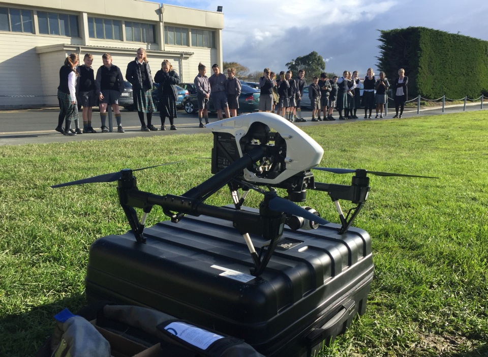
Students from Verdon College eagerly await the launch of a drone. What are drones used for? Image: LEARNZ.
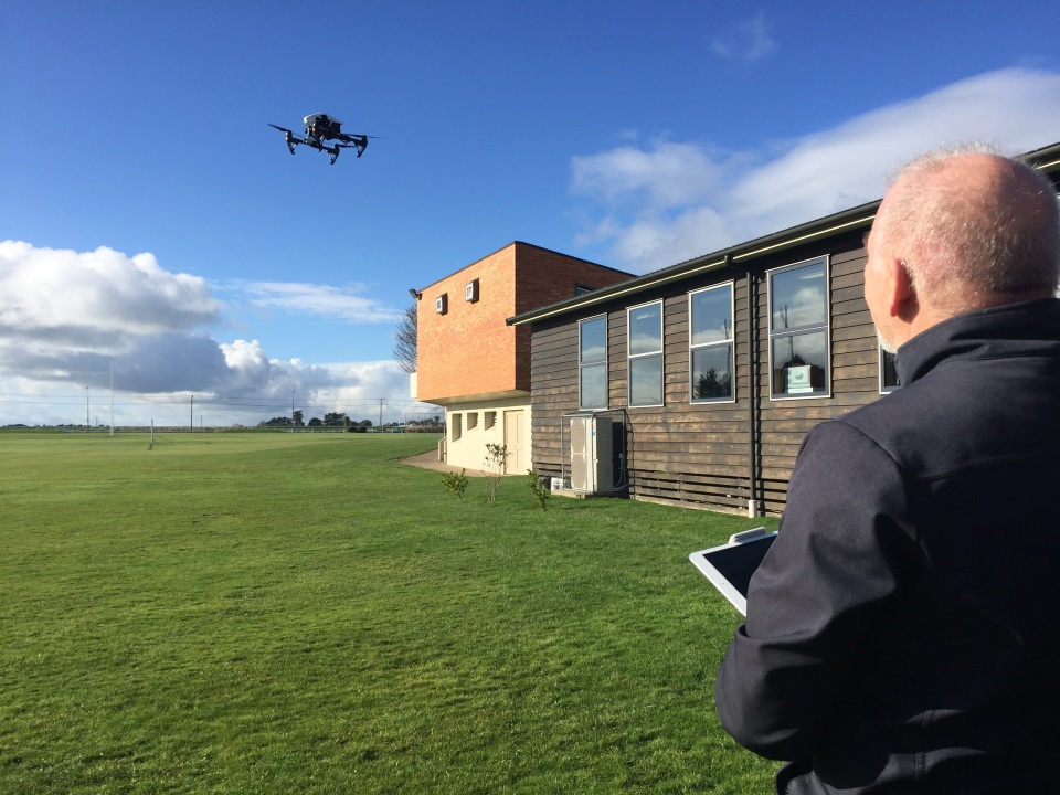
David launches the drone above the school rugby field. Image: LEARNZ.
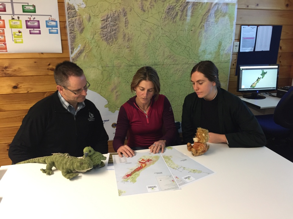
Randall, Shelley and Helen look at maps showing the spread of wilding pines. Why are wilding pines a problem? Image: LEARNZ.
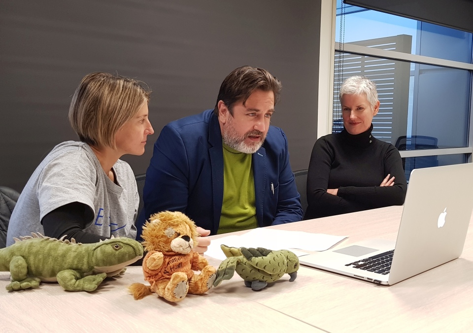
Shelley, Dave and Kate speak to students from Hinds School and Havelock North High School during the web conference. Image: LEARNZ.
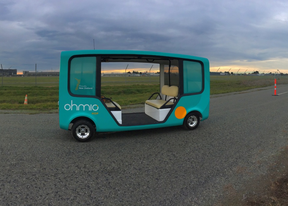
This is the Ohmio Hop self-driving car. How does this vehicle work? Image: LEARNZ.
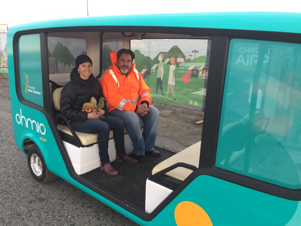
Shelley, the ambassadors and Dave take a ride in the Ohmio Hop. Image: LEARNZ.
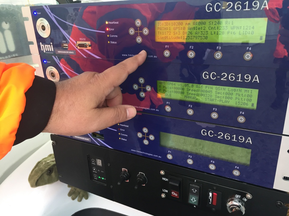
Dave points out some of the smart technology, including GPS, built into the Ohmio Hop self-driving car. Image: LEARNZ.
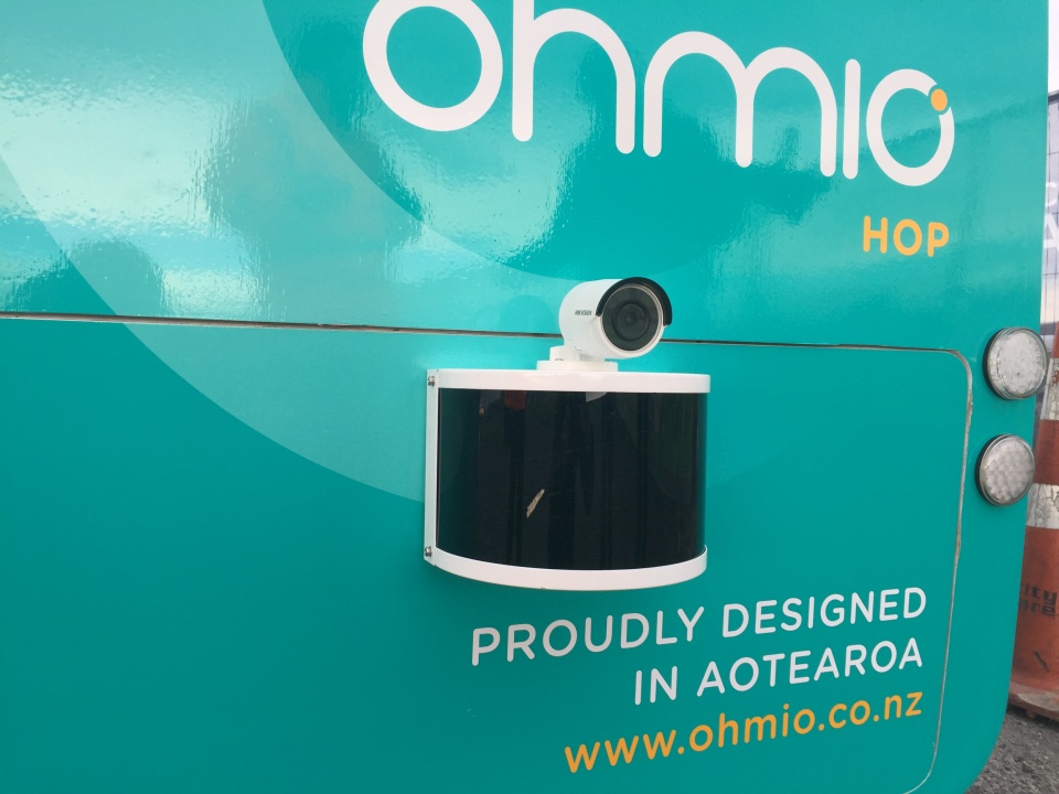
A Laser sensor and camera help the self-driving car to 'see' its surroundings. Image: LEARNZ.
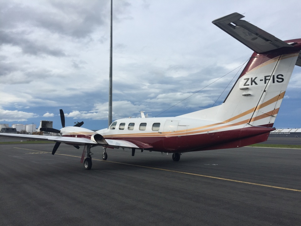
This is a flight inspection aircraft which is used to test navigation systems. Image: LEARNZ.
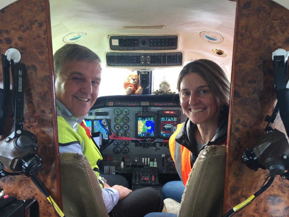
Mike shows Shelley and the ambassadors some of the technology used to help pilots navigate. Image: LEARNZ.
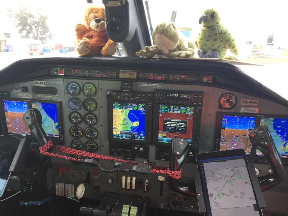
The ambassadors take a closer look inside the cockpit to find out about aircraft navigation. Image: LEARNZ.
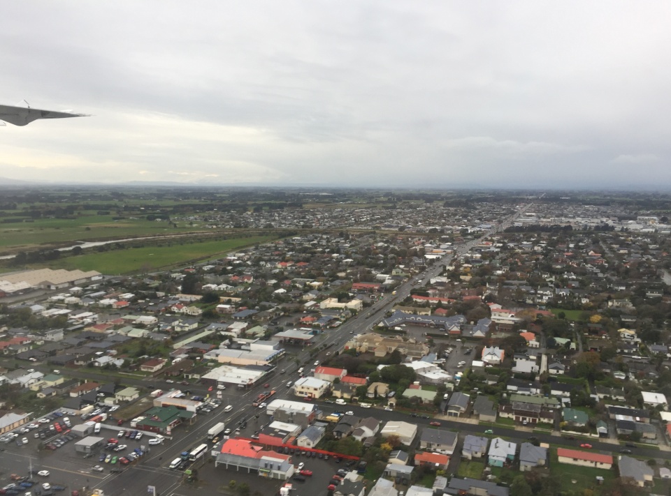
You flew down to Invercargill to continue your Techy Tour in Southland tomorrow. What technology do you think was used to help the pilot of this plane navigate? Image: LEARNZ.
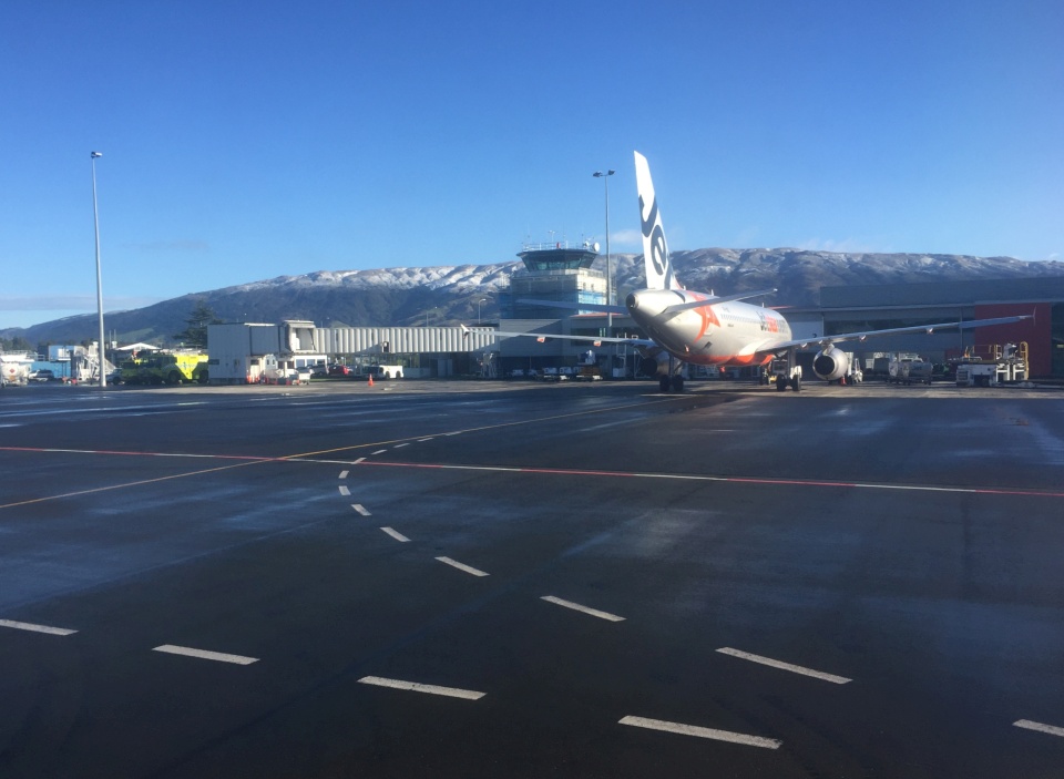
Stormy weather overnight left fresh snow on the hills above Dunedin Airport. Image: LEARNZ.
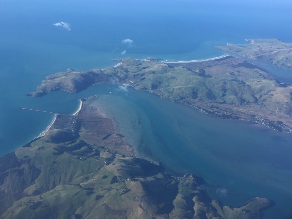
It was a stunning morning to be flying and you enjoyed fantastic views out over Otago Peninsula before heading north. Image: LEARNZ.
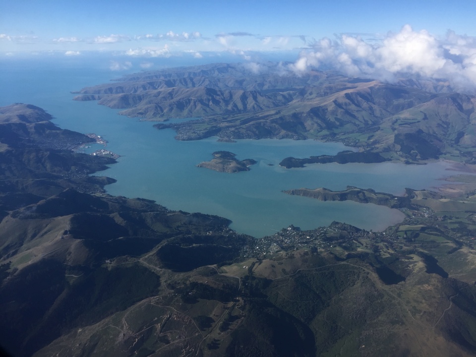
You also had a clear view over Lyttelton Harbour as you descended into Ōtautahi/Christchurch. Image: LEARNZ.
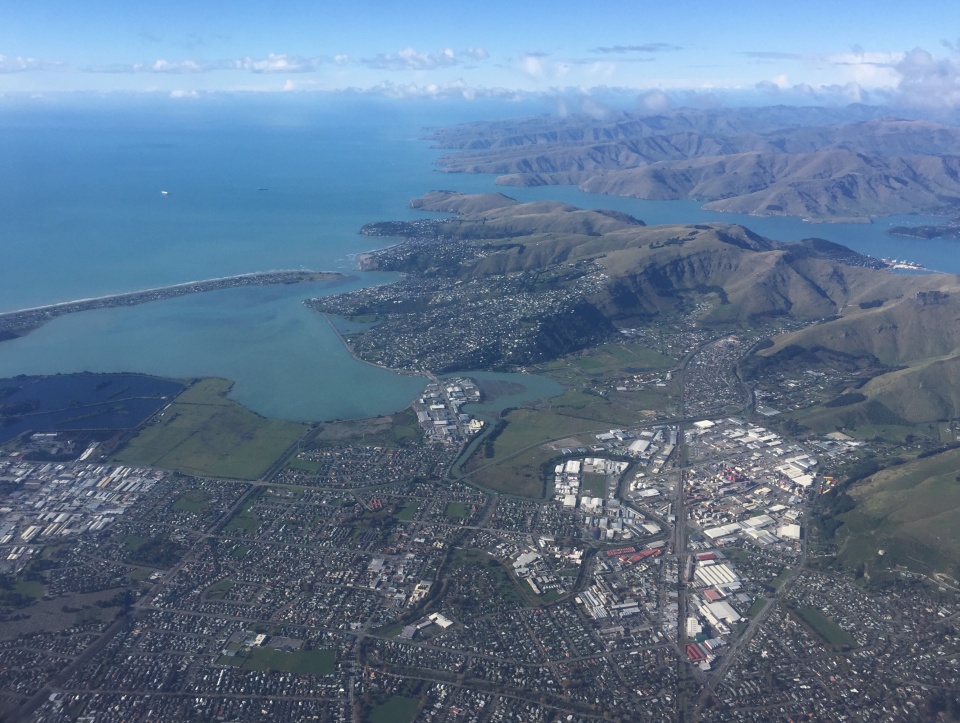
Looking out over the Garden City of Ōtautahi/Christchurch this morning. Image: LEARNZ.
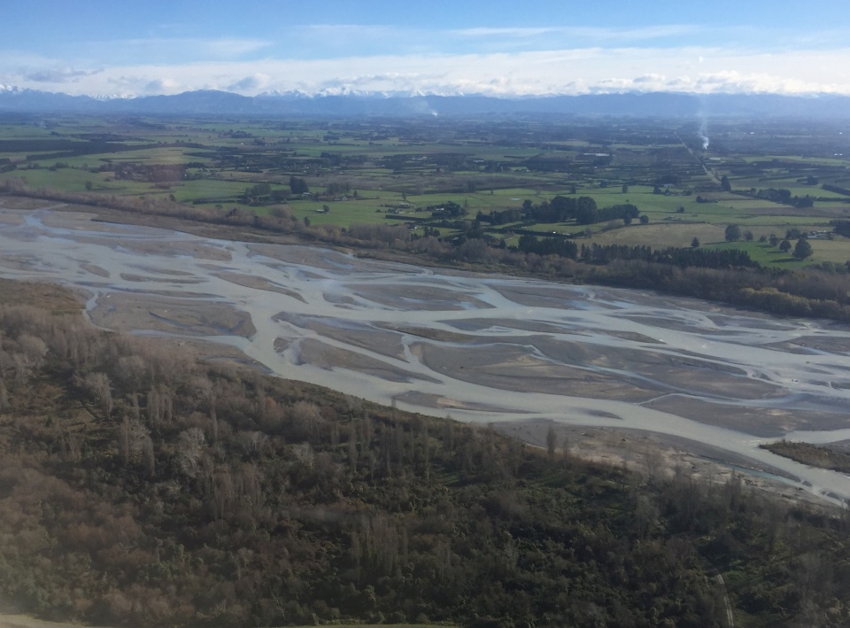
The Waimakariri River was brown after the southerly storm last night. Image: LEARNZ.
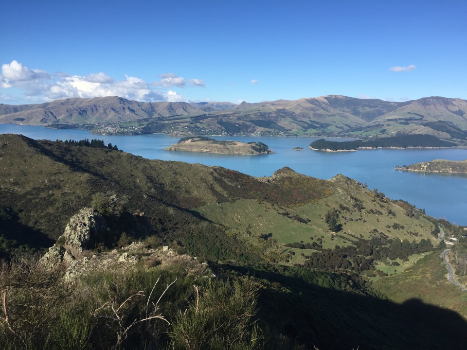
It was the perfect day to head out for a walk and explore the Port Hills in Ōtautahi/Christchurch. Image: LEARNZ.
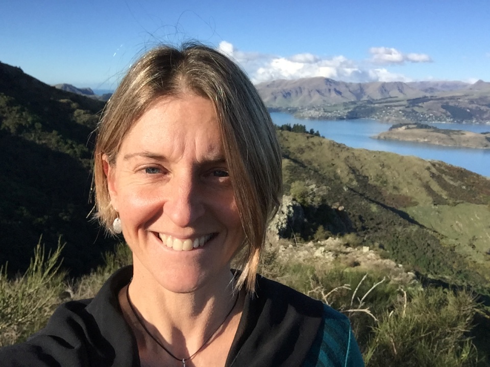
Shelley the LEARNZ teacher enjoys a stroll on the Port Hills above Lyttelton Harbour. Image: LEARNZ.
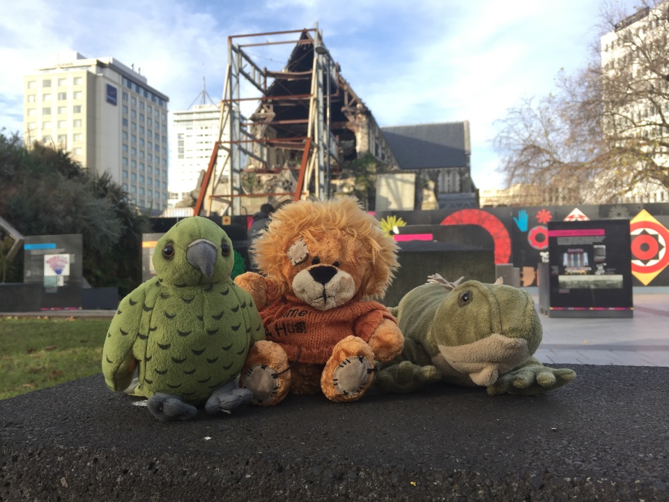
The ambassadors take a look around Cathedral Square and are reminded of the 2011 earthquakes. Image: LEARNZ.