What is a tsunami?
A tsunami is a series of sea waves or surges caused by a sudden event below, or near the ocean which causes water movement and a tsunami ‘wave’ to form.
What causes a tsunami?
The most common cause is an earthquake on the sea floor. Other causes include:
- undersea landslides
- undersea volcanic eruptions
- and meteorite impact.
Sudden changes to the seafloor cause the ocean to flow away from this movement, creating waves.
Warning systems
New Zealand has a warning system for tsunamis caused by earthquakes from far off places (such as in South America), but does not have a warning system for tsunamis close to New Zealand. Why? Because tsunami from local earthquakes can get to the nearest coast before people have time to work out where they are coming from and issue a warning.
This is why it is important to get to higher ground if there is a strong earthquake where it is hard to stand, or if the shaking lasts longer than a minute. "If an earthquake is strong or long get gone".
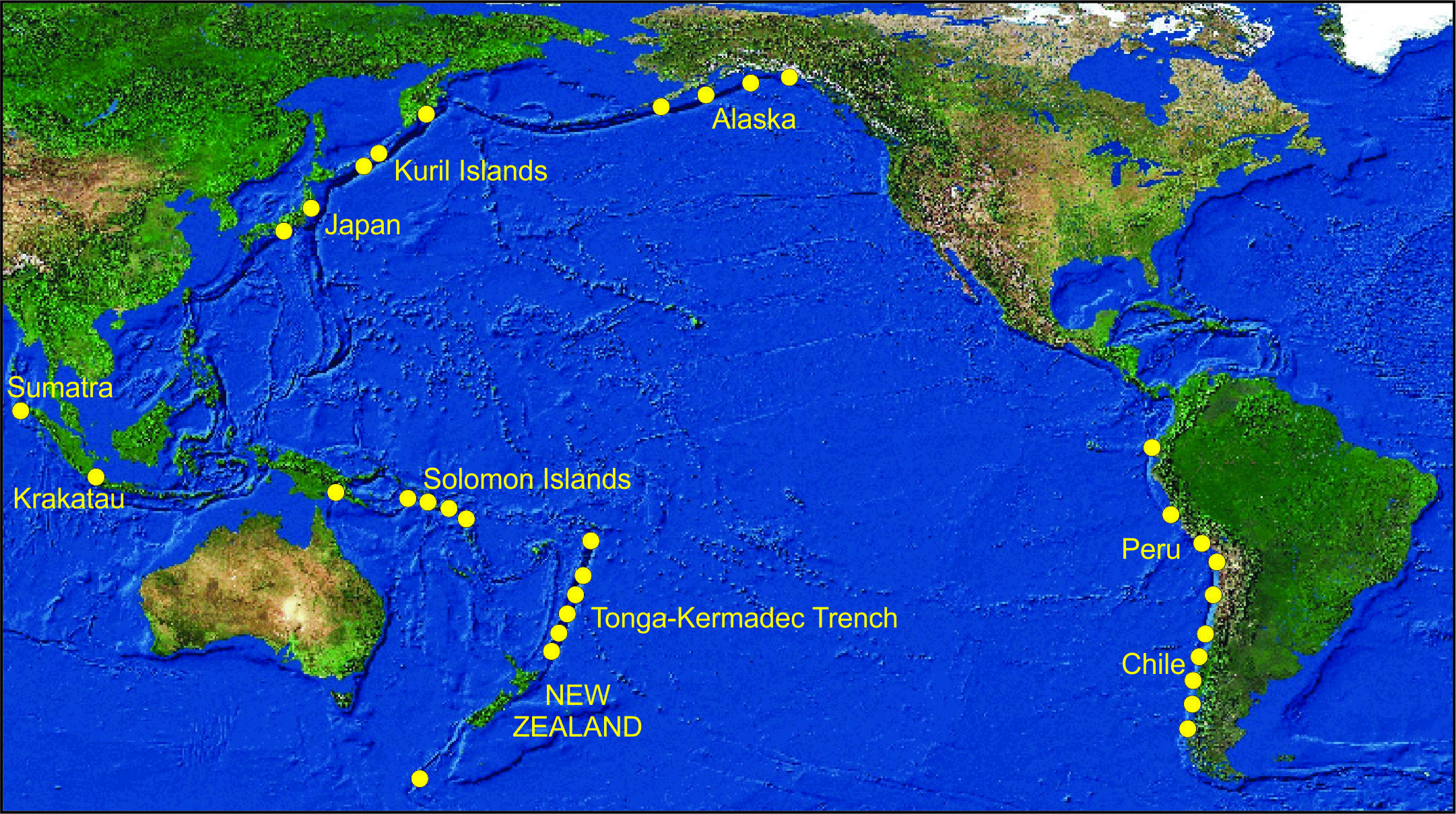
New Zealand gets warning from the Pacific Tsunami Warning Centre in Hawaii if there is a tsunami coming from a long way away. Tsunamis from South America, Alaska, and Japan, take more than 12 hours to reach New Zealand, giving people time to respond.
Sensors are in place around New Zealand to pick up earthquakes that may cause a tusnami off the coast.
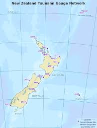
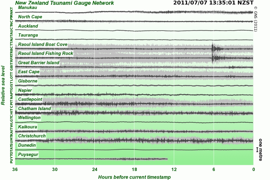
Tsunami gauges are also placed around New Zealand's coast. These will not give a warning for tsunami close to shore, but will record the tsunami so people can learn more about them.
Tsunami detection and modelling
To better understand tsunami and the risk for New Zealand scientists work on;
- finding tsunami sources and modelling waves
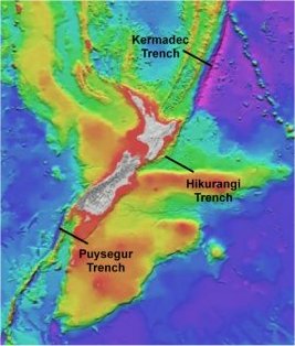
- studying faults off the coast and earthquakes that may cause local tsunami
- studying past tsunamis and measuring their impacts
- working with scientists from other countries to share information and research
- monitoring earthquakes that could cause tsunami
- LINZ look after a network of tide gauges to record the arrival and height of tsunami waves
- modelling local tsunami caused by earthquakes, undersea landslides and volcanoes
- letting people know what to do if there is a tsunami
Monitoring sites
LINZ has a network of sea level monitoring sites at 18 locations around New Zealand and Antarctica. These sites measure tsunami, tides and sea level.
This network will help New Zealand to respond to tsunami.
In the open ocean, tsunami waves travel at 600kph to 700kph. In the deep ocean, waves from a large tsunami may be as little as 60cm high. They pass ships unnoticed. As they enter shallow water, they slow down to about 30kph and increase in height and can travel several kilometres inland in low lying areas.
Tsunami evacuation maps
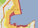
Councils have made maps of areas at risk from tsunami. You can visit your local council website to find out if the area where you live should be evacuated if there is a tsunami. Usually 3 zones are shown:
- The Red Zone: is the sea, beach and some very low lying areas. This area is the one people are asked to stay out of most often as a result of
 smaller tsunamis.
 - The Orange Zone is the area that may be evacuated for large earthquakes in the Pacific, such as near South America, causing a tsunami wave of up to 5 metres at the coastline.
- The Yellow Zone is the self-evacuation zone which means if you feel a long or strong earthquake, then get yourself out of all zones. This zone will only be affected by large tsunami.
People should evacuate these zones when instructed to, or immediately after any long or strong earthquake. Remember the earthquake may be the only warning of a tsunami, so do not wait for further instructions, notifications or advice, evacuate immediately after the shaking has stopped.

