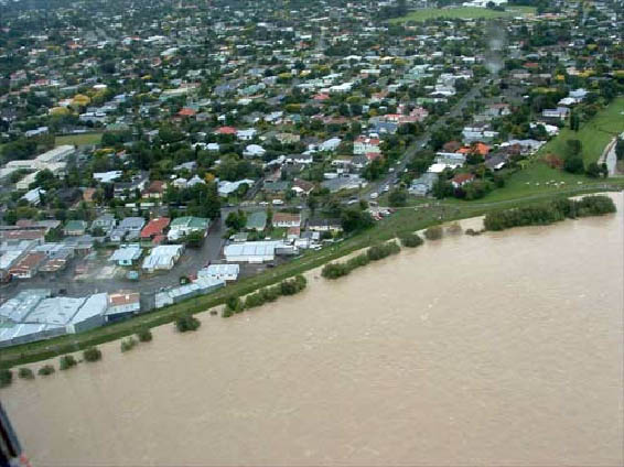
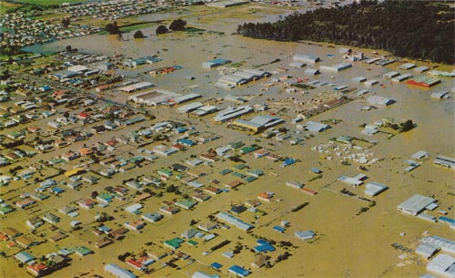
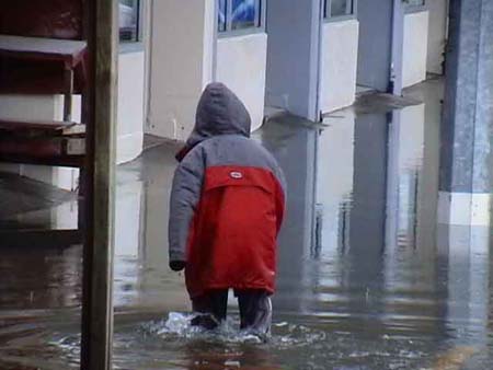
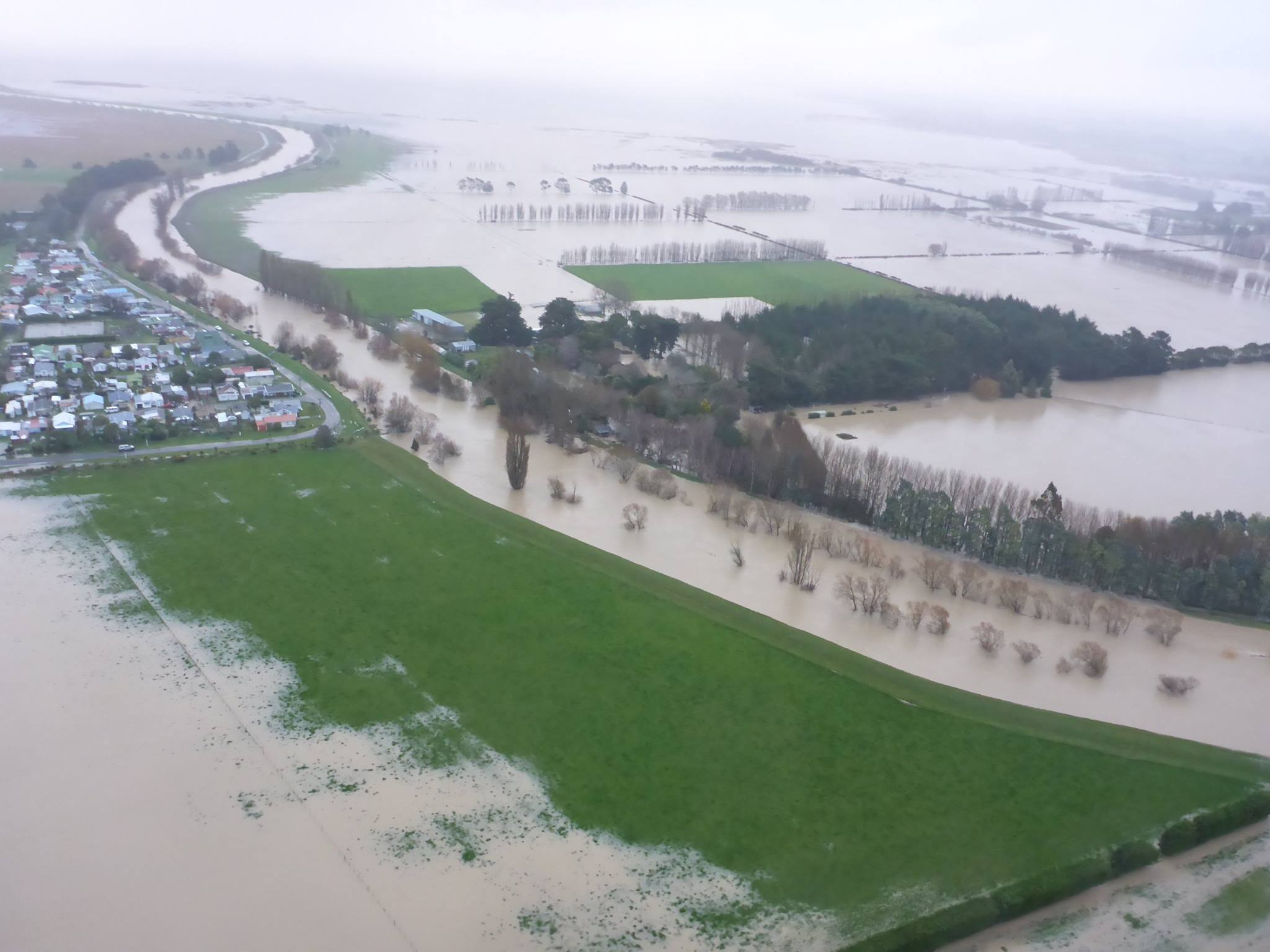
Floods are common in New Zealand and cause a lot of damage.
What is a flood?
Floods can happen due to storms and heavy rain which cause rivers to overflow their banks. They can also be caused by high tides.
What damage can floods do?
Floodwaters can destroy the land, washing away roads, bridges, railway tracks and buildings. Crops can be ruined and livestock drowned.
Lives are also at risk, most often in flash floods when the water has risen very quickly. Fast-flowing, deep water filled with debris like tree branches and sheets of iron can be very dangerous to people.
Managing floods
Regional and District councils manage flood hazards. They maintain flood protection works such as stop banks, and monitor:
- rainfall
- river flows
- and lake levels.
Gauges measure rainfall and river flow, a network of gauges are used to monitor rivers and possible floods.
The first signs of possible flooding are the heavy rain warnings issued by weather forecasters. Councils also operate networks of instruments that measure rainfall and river levels. Data from these instruments, and high rainfall rates or rising river levels, may trigger automatic warnings.
Computer models
Computer models of rainfall and river flow are used to work out when lake levels and rivers are likely to rise and give warnings to communities. Councils organise evacuations, build sandbag barriers, and close roads. Most councils have websites and telephone services that tell the public about rainfall and river levels.
Challenges in flood management
To manage the impact of floods people need to know how likely floods are and what level these floods might reach. There are many things that can impact on flooding such as:
- how wet the ground already is
- how much debris ends up in rivers
- how much sediment the river carries
- whether the area is forest, farmland or buildings
- what is happening up stream
- how stormwater and wastewater are managed
Computer models need to take these factors into account.
Mapping flood-prone areas
Even major river works may not stop flooding, so there are now measures to change the way flood-prone areas are used. Flood prone areas are mapped using information on;
- land elevation
- past rainfall
- past flood levels
- land use
The most at risk areas cannot be built on. Minimum floor levels for houses and other buildings can be set so that people build above known flood levels.

