GeoNet is a monitoring system in New Zealand which began in 2001. GeoNet is operated and funded by:
- The Earthquake Commission (EQC)
- GNS Science
- Land Information New Zealand (LINZ).
GeoNet is a network made up of:
- Instruments to measure events such as earthquakes and find their location
- computer programmes to record and share this information
- skilled staff to find, analyse and respond to events
GeoNet detects and analyses:
- earthquakes
- volcanic activity
- large landslides
- tsunami
- and the very slow movement that happens before large earthquakes.
GeoNet relies on finding the exact location of geologic events in real time.
How GeoNet works
Seismometers are used to measure the size and location of earthquakes. The New Zealand Seismometer Network is made up of over 50 main stations spread across the country. This equipment is used with computer programmes which can record and analyse data.
Seismometers are also used for monitoring volcanoes. There are over 250 strong-motion recorders that can monitor how things like buildings and bridges cope in earthquakes. There are also 19 tsunami gauges in the network.
Measuring movement
GeoNet also monitors slow ground movement. This movement is known by looking at GPS stations which constantly record their location. This location moves very slowly over time as the ground moves and this movement is recorded.
This very slow movement comes from movement of tectonic plates over time and can show where strain is building up and if the direction of movement in certain areas is changing. All this information helps scientists to better understand earthquakes. This information is also used to 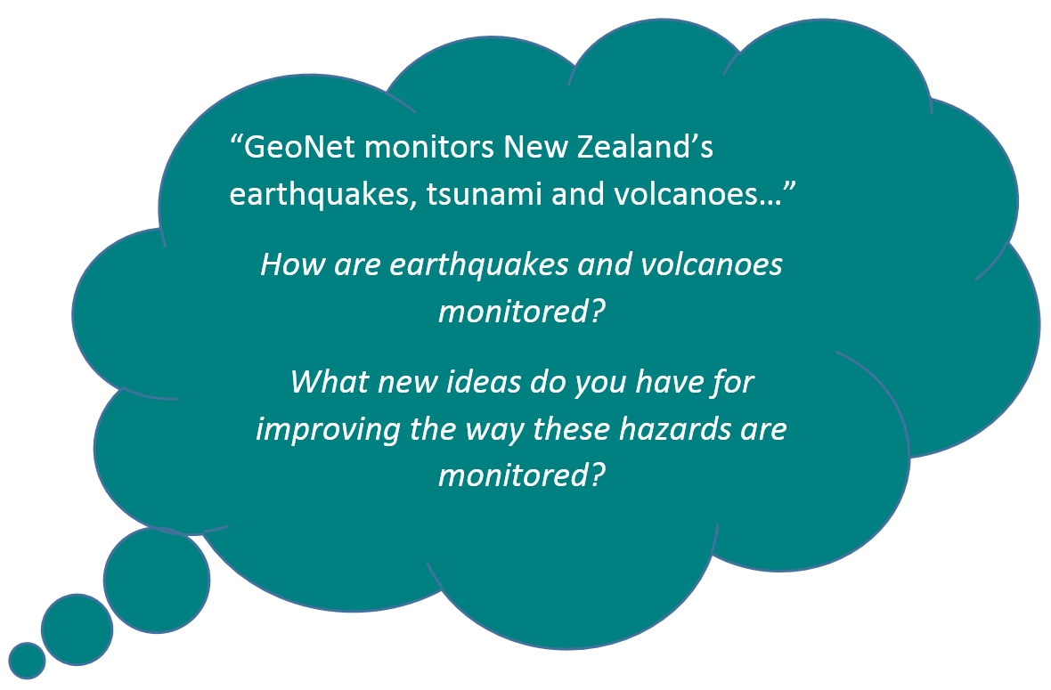 make corrections to maps over time as the land moves.
GeoNet shares all the information it collects and you can visit the GeoNet website or download the app to get up to date information on earthquakes, volcanoes, landslides and tsunami.


