Maps have come a long way since people first began drawings to show where they were.
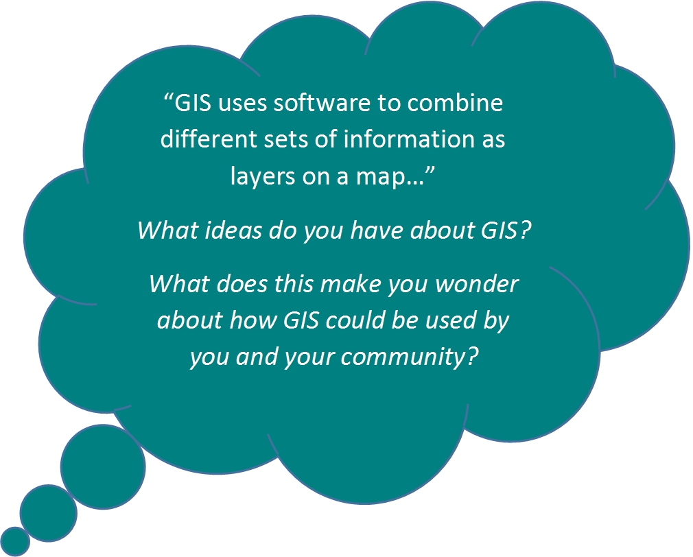
Modern maps are made using special software that combines lots of different sorts of information. This system of modern mapping is called GIS – Geographic Information Systems. GIS is used by groups such as City Councils. GIS gives access to data and shows different sets of data together.
GIS gives people a picture of data that allows them to:
- problem solve
- write reports
- track changes
- make decisions
- plan for the future e.g. which areas could be used to build houses.
GIS needs four things:
- People: people who are trained in GIS.
- Data: geospatial information (where things are located) is entered into the GIS software.
- Software: GIS software analyses data and presents it in different ways for the user.
- Hardware: includes hand held devices for collecting data and computers with GIS software.
Data in a GIS system is stored in sets called ‘data sets’ in a database. Data sets can be turned on and off so they are shown all together or separately as layers on a map:

GIS is helping peope to become more resilient to natural hazards.
GIS makes sharing information quick and easy. People can get a large amount of information on different things such as road closures, power cuts, floods and water supplies, all from the one digital map. GIS helps emergency services and councils to repond to disasters and share information with the public.


