Maps have come a long way since people first began drawings to show where they were. Modern maps are created using special software that combines lots of different sorts of information. This system of modern mapping is called GIS – Geographic Information Systems.
GIS is used by organisations, such as the Life Flight Trust, Kiwi Rail and City Councils. GIS allows organisations to;
- access data
- combine different data sets together
- give graphical representations of data.
GIS allows a lot of different information to be shown on one map. Different layers or sets of information can be shown together or separately.
GIS helps people to;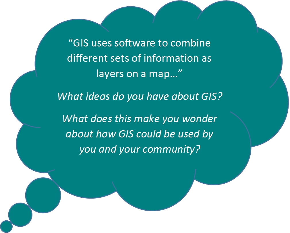
- analyse situations
- write reports
- track changes
- make decisions
- plan for the future, for example which roads are likely to be congested due to road works, closures or special events.
GIS requires four things:
- People: people who use GIS are professionals who have been educated to use GIS and have made a career out of working with GIS.
- Data: geospatial information (where things are located) and the details of objects such as services, roads, buildings etc. are collected and entered into the GIS software.
- Software: GIS software analyses data and presents it in different combinations for the user.
- Hardware: includes hand held devices for collecting data and computers with GIS software to display the GIS.
Data contained in a GIS system is stored in sets of data called ‘data sets’ in a database. Data sets can be selected, combined and presented as layers:


Comments
I wonder if a school should "GIS" itself
gis