For thousands of years people have needed to measure the land and set out areas for buildings. The best way to show this information is on a map. The first step in making a map is to collect geospatial data. Today surveyors do most of this work.
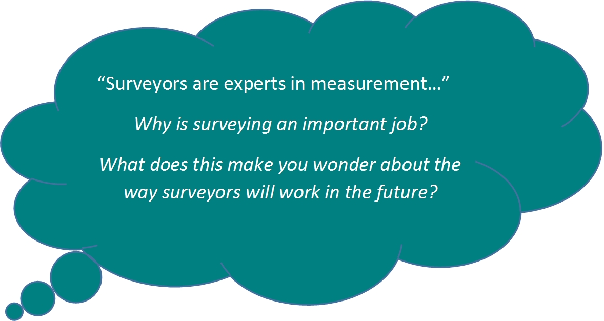
Surveyors are experts in measurement: they collect and use location-based information. Surveyors collect data on:
- the land e.g. how steep it is.
- property boundaries e.g. how much land someone owns.
- structures e.g. to map and plan new buildings, roads and bridges etc.
- the shape of the Earth e.g. changes in sea level.
- underwater surveying, e.g to measure the bottom of the sea, harbours, rivers and lakes.
- mining e.g. where minerals are found.
Once accurate data has been collected and recorded by surveyors, it can be shared in different forms:
- topographical maps showing the ground with natural and man-made features such as rivers, mountains, roads, buildings.
- specialised maps on almost anything.
- plans e.g. subdivision plans.
- nautical charts showing where things at sea are such as reefs and coast lines. They can also record information on tides and depth of water.
What tools do surveyors use?
Surveyors use special tools to help them measure:
- laser scanning is used for 3D mapping.
- theodolites are now electronic and are called 'total stations'.
- GPS

 on a tripod. Image: LEARNZ.")


Comments
I wonder how good you have to be at maths to be a surveyor