You can contact LEARNZ, part of CORE Education, at:
Postal Address:
PO Box 13 678,
Christchurch 8141,
New Zealand
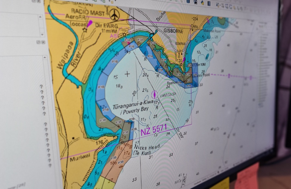
Imagine a massive part of our planet is like a hidden level in a video game – out there, but unexplored. That's pretty much what the ocean is like. Most of it is unknown territory, a place filled with secrets waiting to be discovered. That's where nautical charts come in, not just as old-school maps but as essential tools for adventure, safety, and even saving the planet. Let's dive into why mapping the ocean with nautical charts is a big deal.
First up, think of nautical charts as the ultimate ocean guidebook. They help sailors and anyone hitting the high seas to avoid crashing into underwater mountains, getting stuck on sandbanks, or accidentally finding a Titanic sequel with sunken ships. It's all about making sure people, ships, and all aboard get where they're going without turning into a new mystery of the deep.

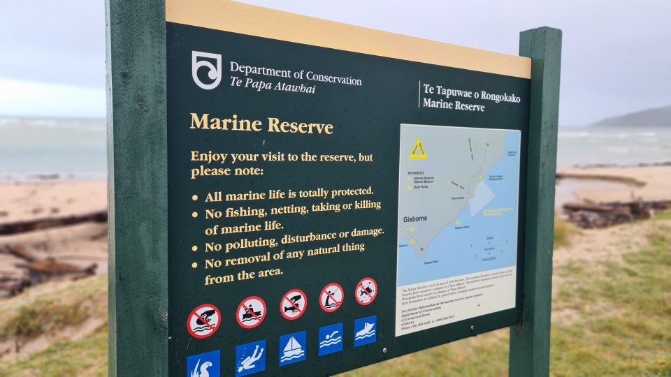
But wait, there's more! Nautical charts are like treasure maps for saving the ocean. They show us where the precious parts are – coral reefs that are the rainforests of the sea, secret seagrass beds, and homes of the coolest marine critters. By knowing what's where, we can protect these spots, making sure the ocean stays awesome for generations of fish (and people, too).
And guess what? These charts are also climate change detectives. They help scientists understand ocean currents, which are basically the Earth's climate control system. By figuring out how these currents move and change, researchers can predict weather patterns, see how climate change is messing things up, and try to find ways to cool down our planet.

Nautical charts even have a role in predicting disasters like tsunamis and hurricanes. By mapping the ocean's floor, scientists can guess how and where these big waves might hit, giving people a heads-up to get to safety. It's like having a preview of Mother Nature's next big move.
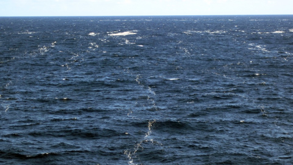
So, why hasn't the whole ocean been mapped yet? Well, it's because getting to the bottom of the deep sea is as tough as beating the final boss in a game without any cheat codes. It's dark, it's pressured, and it's vast. Explorers need super-advanced tech like underwater drones and fancy sonar to even get a glimpse of what's down there. Every new piece of the map we fill in is a victory against the unknown.

Nautical charts are more than just old relics; they're our guide to understanding and protecting the ocean. They help us safely explore the unknown, keep marine life thriving, fight against climate change, and get ready for natural disasters. As we keep mapping the uncharted waters, we're not just finding new places; we're securing a better future for our planet. So, next time you see a nautical chart, remember it's not just about navigation – it's a map to understanding and saving our world's biggest and coolest mystery: the ocean.

Try the Charting the unknown quiz.