


You can contact LEARNZ, part of CORE Education, at:
Postal Address:
PO Box 13 678,
Christchurch 8141,
New Zealand
Long before GPS and Google Maps, Polynesian ancestors such as Kupe were the masters of navigating the vast Pacific Ocean, Te Moananui-a-Kiwa. These ancient explorers, including tīpuna Māori, sailed thousands of miles across open water, discovering and settling remote islands with incredible precision. So, how did they do it? How did they first discover these lands eg Kuramārōtini calling “He ao, he ao, he Aotearoa!”

Instead of relying on fancy gadgets, Polynesian navigators used their deep understanding of nature to guide them. They memorised huge amounts of knowledge and looked at the stars, wind patterns, ocean swells, and even the behaviour of birds to find their way. By observing these natural signs, they could determine their exact position and the direction of distant islands.
Stars were like their celestial road signs. By memorising the positions of key stars and constellations, navigators could navigate by night. The rising and setting of specific stars helped them determine their latitude, while the angle between stars guided their direction.

Believe it or not, the ocean itself provides valuable clues for navigation. Modern and old Polynesian navigators sense subtle changes in wave patterns and swells, which helps them to detect nearby islands even when they couldn't see them on the horizon.
Birds were the little helpers of tīpuna of Polynesian and at times, kaitiaki. Certain species, like migratory seabirds, would fly towards land at dawn, giving navigators a clue about the direction and location of nearby islands.
But how did the ancient explorers create maps to guide them on their journeys? They passed down their knowledge through oral tradition, using songs, stories, and intricate charts made from natural materials like sticks and shells in the sand. These charts represented ocean swells, currents, and the locations of islands, providing a mental map for navigators to follow.

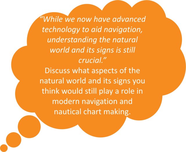
The incredible navigational techniques of the Polynesians may seem a world apart, but they still hold valuable lessons for modern-day hydrography. While we now have modern technology to aid navigation, understanding the natural world and its signs is still crucial. Polynesian navigation teaches us to respect and learn from nature, incorporating its cues into our modern navigation methods for safer and more sustainable exploration of the seas.
Fast forward a few centuries, and enter Captain James Cook. Cook had access to different tools and technologies, but his voyages were no less remarkable.
Imagine sailing across the vast, endless ocean with nothing but the stars to guide you. That's exactly what Captain Cook did, but he had a secret weapon: the sextant. This handy device allowed Cook and his crew to measure the angle between celestial objects, like the sun or stars, and the horizon. By comparing these measurements with tables of known star positions, they could figure out their latitude, helping them pinpoint their location on the map.
But latitude was only part of the puzzle. To truly navigate the open sea, Cook needed to know his longitude as well. For this, he relied on another revolutionary invention of his time: the chronometer. This fancy timepiece was super accurate, allowing Cook to keep track of time precisely even while sailing across rough seas. By comparing the local time with the time back home in England, Cook could work out his longitude, helping him create accurate maps of the uncharted waters he navigated.

But navigation wasn't just about knowing where they were; it was also about knowing what lay beneath the surface. To find out how deep the water was, Cook used a device called a lead line. This was basically a rope with a heavy weight attached to one end. They'd drop it over the side of the ship, and when it hit the bottom, they'd measure how much rope had been let out to determine the depth.
As for figuring out how fast the ship was sailing, Cook and his crew used a method called "dead reckoning". They'd keep track of the ship's speed using a device called a log, which was a wooden board attached to a rope with knots tied at regular intervals. By tossing the log overboard and counting how many knots passed through their hands in a set amount of time, they could estimate the ship's speed. Combined with the ship's course and time travelled, this allowed them to calculate their position on the map.
Captain Cook's voyages marked a significant chapter in the Western ‘Age of Exploration’, opening up new trade opportunities, and advancing their knowledge of other societies. His meticulous mapping and navigation laid the groundwork for future hydrographic surveys and contributed to how people understand the world's oceans.

Today, modern hydrography builds upon the legacy of early navigators like Captain Cook and Polynesian navigators such as Kupe. While our tools and technology have evolved, the principles of accurate navigation and charting remain the same. By combining the success of traditional techniques such as ‘reading’ the clouds and waves with state-of-the-art equipment like sonar, GPS, and satellite imagery, modern hydrographers continue to chart the world's oceans, ensuring safe navigation and expanding our knowledge of the marine environment.
Try the Navigating the ages quiz.
From the Navigation: Kupe, Cook and today virtual field trip.