


You can contact LEARNZ, part of CORE Education, at:
Postal Address:
PO Box 13 678,
Christchurch 8141,
New Zealand
Ever wonder how we get those awesome maps of the ocean floor, complete with shipwrecks, underwater mountains, and all that? It’s all thanks to some seriously epic gadgets and tech that hydrographic surveyors use to uncover the mysteries of the deep. Let’s check out the high-tech gear that makes it all possible.
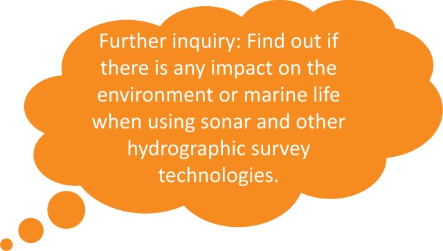
Sonar is like the ocean’s version of shouting in a canyon and waiting for the echo. But instead of shouting, we use sound waves. These waves bounce off stuff underwater and come back to tell us what’s down there and how far away it is.

Imagine using a flashlight to shine a beam straight down into the water. That’s what single-beam echo sounders do with sound. They send a single sound pulse down to the bottom and listen for the echo. This tells us how deep the water is right beneath us. Super precise, but it’s only a tiny piece of the puzzle.
Now, switch that flashlight for a massive floodlight. Multi-beam echo sounders throw out a bunch of sound beams at once, covering a way bigger area. This gives us a detailed picture of what the seafloor looks like, making it perfect for mapping out larger, complex areas.

To map the ocean, you gotta know where you are. GPS (what we use to navigate roads) and GNSS (a global version of GPS) are like super accurate “You Are Here” stickers for anywhere on Earth. In hydrographic surveying, they help us match the underwater stuff we find with exact spots on the surface.
Mini remotely operated vehicles (ROVs for short) are like remote-controlled submarines. They can squeeze into places too tight or dangerous for people or ships. With cameras and sometimes sonar attached, they give us a close-up view of what’s happening under the sea.

This tech is like having an internal compass that always knows where you’re going, even if GPS gets lost in the sauce (like deep underwater). It uses motion sensors to keep track of movement, direction, and speed, helping to make sure the data we collect underwater matches up with where we think we are.
After all that data is collected, it’s pretty much a bunch of numbers and measurements. Hydrographic survey software is the magic wand that turns this data into maps and charts we can understand. It processes and cleans up the data, then spits out detailed maps of the ocean floor, showing everything from how deep it is to where the cool stuff (like shipwrecks) are hiding.

The gadgets and tech used in hydrographic surveying are like something out of a spy movie but for the ocean. From the echoes of sonar to the pinpoint accuracy of GPS, the exploratory prowess of mini ROVs, the unshakable direction of inertial navigation, and the data wizardry of survey software, this equipment lets us unlock the secrets of the deep. As this tech gets even cooler, who knows what underwater mysteries we’ll solve next?
Try the Tools of the trade quiz.
Visit Hydrographic survey equipment for more detailed information about seabed mappoing tools of the trade.