You can contact LEARNZ, part of CORE Education, at:
Postal Address:
PO Box 13 678,
Christchurch 8141,
New Zealand

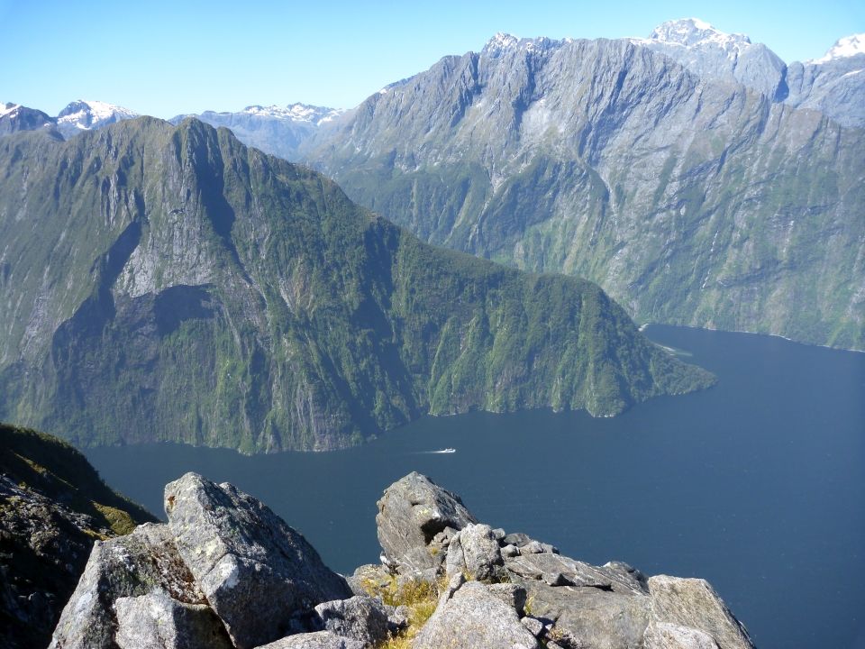
Fiordland is known by several names, including Atawhenua, meaning shadowland.
In Māori tradition Atawhenua represents the raised sides of Te Waka o Aoraki. The waka foundered on a submerged reef and Aoraki and his brothers who were onboard this waka were turned to stone. The brothers are now seen in the highest peaks of Kā Tiritiri o Te Moana the Southern Alps.
Atua Tū Te Rakiwhānoa carved out the fiords at the southern end of the Alps from the raised side of the wrecked Te Waka o Aoraki (the canoe of Aoraki). Tū Te Rakiwhānoa carved these fiords in an effort to make this land habitable to people. The deep gouges and long waterways that make up the fiords were intended to provide safe havens on the rugged coastline, and were stocked with kai moana, forest and birds to sustain people. It was the richness of mahinga kai and pounamu resources that attracted Māori to Fiordland.
The area has a network of coastal settlements, pounamu trails, mineral working areas, kāinga, nohoanga, cultivation areas and fishing grounds.
Tūpuna had great knowledge of whakapapa and traditional trails. They knew places for gathering kai and other taoka, ways in which to use the resources of the lakes, rivers and coast and tikanga for the proper and sustainable use of resources. All of these values remain important to Kāi Tahu today.
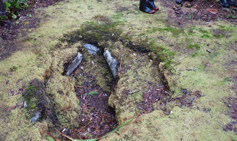
Old earth oven middens and food storage pits can be seen throughout Fiordland. Other remnants of Māori occupation can be found in the isolated Fiords in caves.

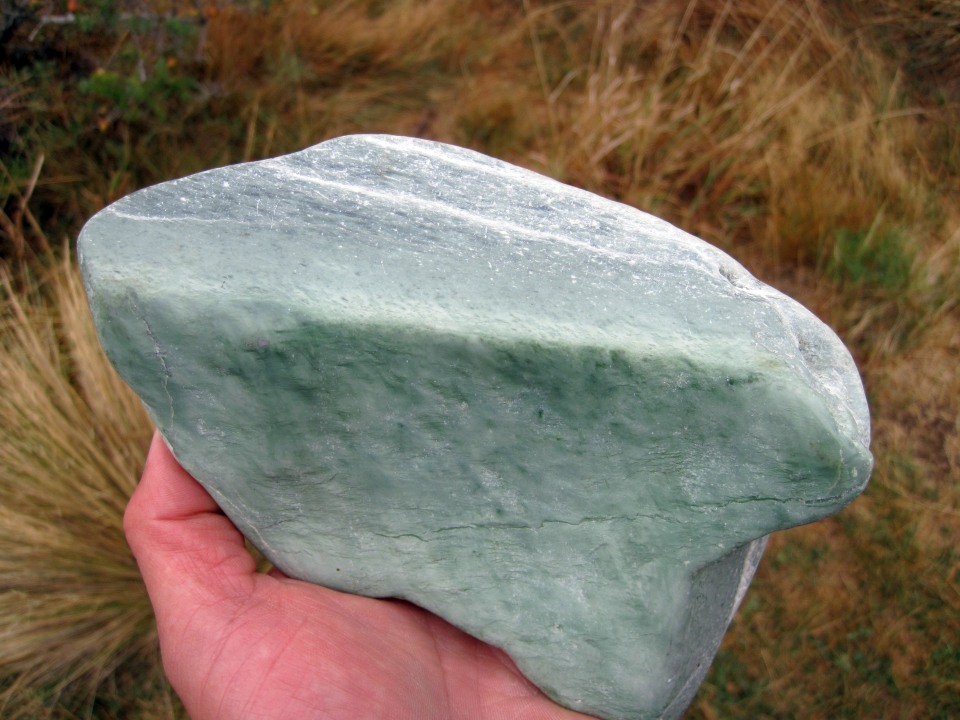
Māori traversed the mountain passes carrying their prized pounamu to trade with other tribes. This stone can only be found on the West Coast of Te Waipounamu, including some parts of Fiordland, and near Lake Wakatipu.

There are many trails throughout Atawhenua Fiordland. A sea route around the Fiords links Piopiotahi Milford Sound to Murihiku Southland and was the main route by which pounamu gathered from that end of the Fiords was transported. An important inland route for transporting pounamu lay over what is now known as the Milford Track, over Omanui McKinnon Pass, down the Waitawai Clinton River to the head of Te Ana-au Lake Te Anau. From there, the pounamu would be transported by mōkihi to the head of the Waiau River, and down the Waiau to Te Ara a Kiwa Foveaux Strait.
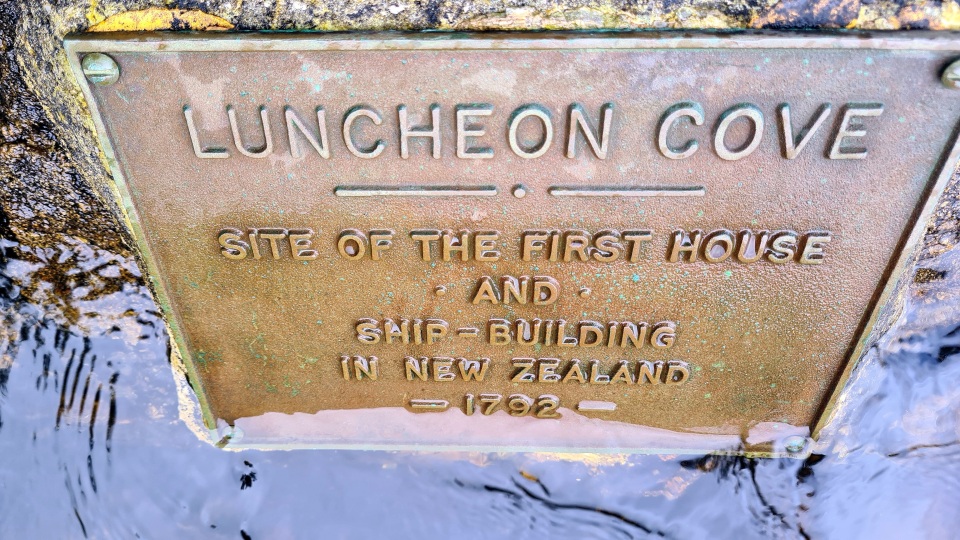
Captain Cook and his crew were the first Europeans to visit Fiordland, and in 1773 spent six weeks in Tamatea Dusky Sound. Cook’s maps and descriptions soon attracted sealers and whalers who formed the first European settlements of New Zealand. Sealers and whalers were active through the early 1800s. They hunted seals almost to extinction but from the 1840s the area was mostly deserted.

