You can contact LEARNZ, part of CORE Education, at:
Postal Address:
PO Box 13 678,
Christchurch 8141,
New Zealand

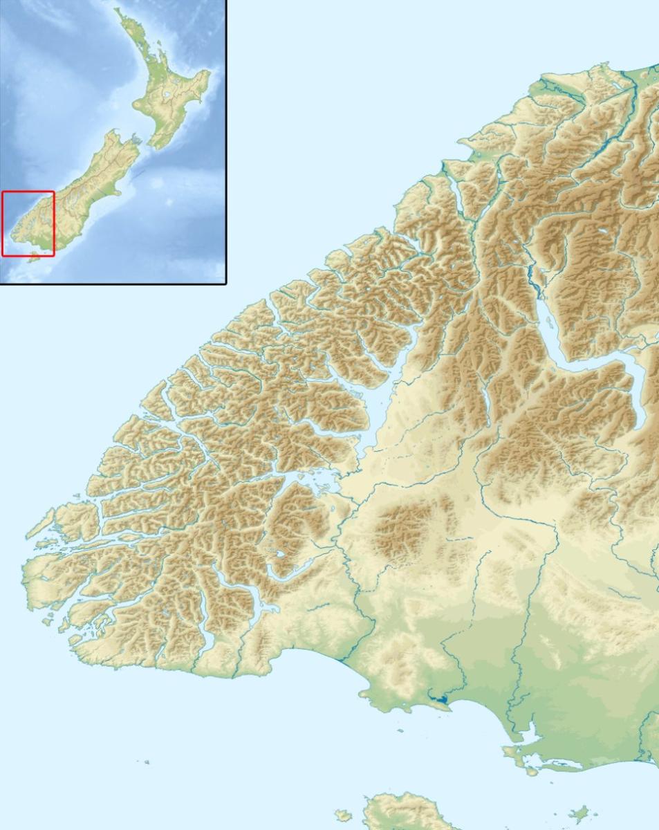
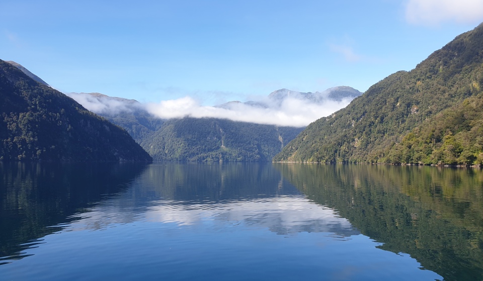
Fiordland is a region in the south-west corner of Te Wai Pounamu the South Island. The fiords that give the area its name are troughs carved by glaciers about 20,000 years ago. These glaciers extended out to the coast and when they melted, the sea flooded in.
Fiordland has some of New Zealand’s oldest rocks, including gneiss, schist and granite. Hard and resistant, they retain their form in the face of high rainfall. This is why Fiordland has steep mountains, waterfalls and many lakes. The Alpine Fault has also shaped the land by pushing up Kā Tiritiri o te Moana, the Southern Alps.

Fiordland is an important carbon sink, meaning it absorbs carbon dioxide. Carbon is stored both in Fiordland’s forests and in the sediments in the fiords. Scientists have found that fiords are able to hold a large amount of carbon, so are important in reducing the impacts of climate change.
Visiting Fiordland is like stepping back 80 million years to when Aotearoa was part of an ancient supercontinent called Gondwana. We can still see a diverse combination of rocks, plants and animals which date back to this period. The spectacular carved valleys, fiords and lakes are recognised as some of the finest examples of glaciated landforms in the Southern Hemisphere.
Fiordland is one of the wettest places in Aotearoa. It receives over 7.5 metres of rain every year! This rain creates powerful waterfalls and fertile forests that give Fiordland its raw natural beauty.

Most of Fiordland became a national park in 1952. Today the park covers over 1.2 million hectares and since 1986 it has also been recognised as a World Heritage Area. Fiordland National Park is the largest national park in Aotearoa. This vast wilderness is famous for its scenery, including Piopiotahi Milford Sound, Sutherland Falls and Lakes Te Anau and Manapōuri.

This area is made up of fifteen main fiords that are located along 200 km of coastline. The Northern fiords are flooded steep ‘U’-shaped valleys with narrow entrances to the open sea, dominated by dark inner fiord habitats. The Southern fiords are wider, more open to the sea and contain higher energy open coast habitats.
The steep, isolated land and wet climate have created a variety of habitats where many ancient plants and animals have thrived, including the rare flightless takahē and kākāpō and the kea, the world’s only alpine parrot. Three types of kiwi can also be found here; rowi, Haast tokoeka and Fiordland tokoeka.
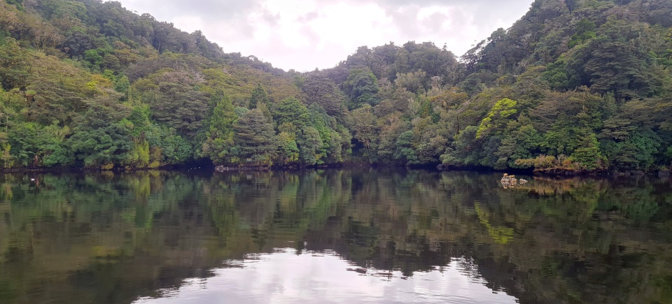
Much of Fiordland is covered with ancient and mature stands of southern beech and podocarp trees, some of which are over 800 years old.

Early European settlers named many of the fiords such as Milford and Dusky Sound, however they were incorrect in their observations. Sounds are formed when river valleys are flooded by the sea. While Milford and Dusky Sound do meet the ocean, these landscapes were not formed by the flooding of rivers from the ocean, but instead carved by the erosion of ancient glaciers so should be called fiords rather than sounds.
Quintin McKinnon and Donald Sutherland opened up the Milford Track in 1889 and began guiding tourists on the now world-famous track. The Milford Track is one of New Zealand’s 10 Great Walks, so too are the Kepler and Routeburn tracks. The Hollyford Track is also well known. These tracks bring many tourists to Fiordland. Other attractions include mountaineering, hunting, fishing, boat trips and scenic flights.
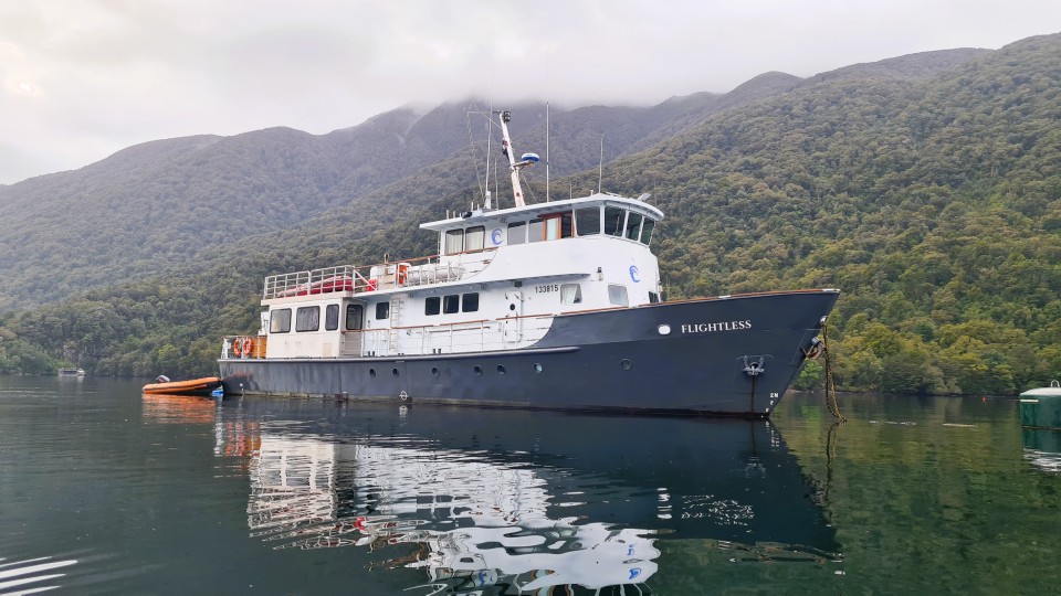
This virtual field trip with Pure Salt involves a multi-day voyage on board the MV Flightless vessel. It will be an adventure into the heart of Fiordland to discover unique ecosystems above and below the water in Tamatea Dusky Sound.


Try the Fiordland's importance quiz.