The word geohazard comes from two words:
- Geo – from the word ‘geological’ meaning from the earth.
- Hazard – a situation that poses a risk to property, environment or life.
So ‘geohazards’ means the risk of damage caused by a geological process.
Sometimes hazards are not obvious until pointed out. For example we wash our hands to avoid biohazards such as viruses and bacteria even though they are too small to see. We are told that some foods are poisonous (a biohazard) so we don’t eat them.
All geological hazards (geohazards) could be considered dormant until they are triggered.
When the hazard occurs it may then be called an event, accident, emergency, incident, or disaster. The study and monitoring of geohazards helps us to better prepare ourselves and respond to these geological events when they do occur.
Geohazards can be small features that have an impact only on their local area such as a small landslide that partially blocks a road or track through to large earthquakes that affect entire cities. They can also be very large events that have a widespread impact such as large tsunami.
Types of geohazard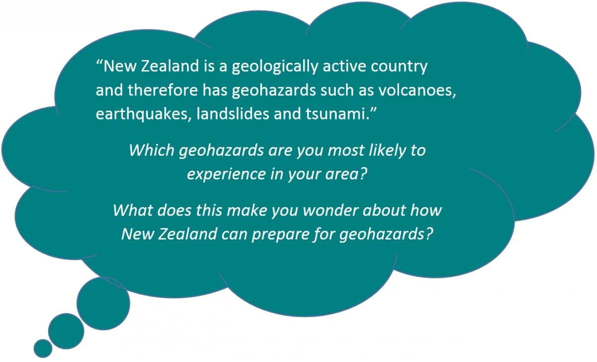
Geohazards include:
- landslides
- earthquakes
- tsunamis
- volcanoes
- lahars
- hydrothermal eruptions
Common geohazards in New Zealand and Iceland
New Zealand and Iceland are geologically active. This is because they sit across a plate boundary.
- New Zealand is located on the boundary of the Indo-Australian and Pasific tectonic plates.
- Iceland is located on the boundary of the North American and Eurasian tectonic plates.
These moving plates create huge forces that have shaped spectacular landscapes; uplifting mountains, carving out lakes and rivers and creating rugged coastlines. These forces continue to form the land today and can also cause frequent earthquakes, landslides, volcanic eruptions, hydrothermal activity and even tsunami.
Earthquakes
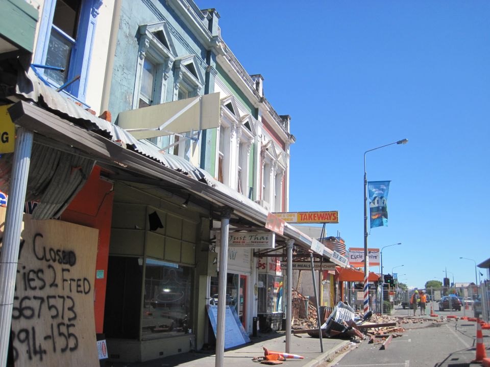
Earthquakes are caused when rocks break due to the stress applied by movement of the tectonic plates that make up the outer layer of the Earth. About 15,000 earthquakes occur every year in New Zealand, but we only feel about 150-200 of these earthquakes a year.
Most of the earthquakes detected in Iceland take place in one of the active volcanic zones or along the South Iceland Seismic Zone. There are also two main important types of earthquakes in Iceland: Quakes created by volcanic activity and quakes caused by the release of tension caused by the movement of the tectonic plates.
While many earthquakes are small, those that are strong and close to towns or cities can cause great damage and sometimes loss of life. For this reason it is important for people living in New Zealand and Iceland to know how to prepare for and respond safely to earthquakes.
Tsunami
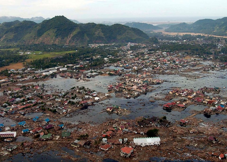
A tsunami is a series of powerful ocean surges caused by a large volume of the ocean floor being displaced – often by an undersea earthquake or landslide. Most tsunamis are similar to very strong, fast tides, rather than waves. The larger ones can travel a long way inland. Much of the damage from tsunamis is caused by the erosion generated by the strong currents and floating debris.
Volcanoes
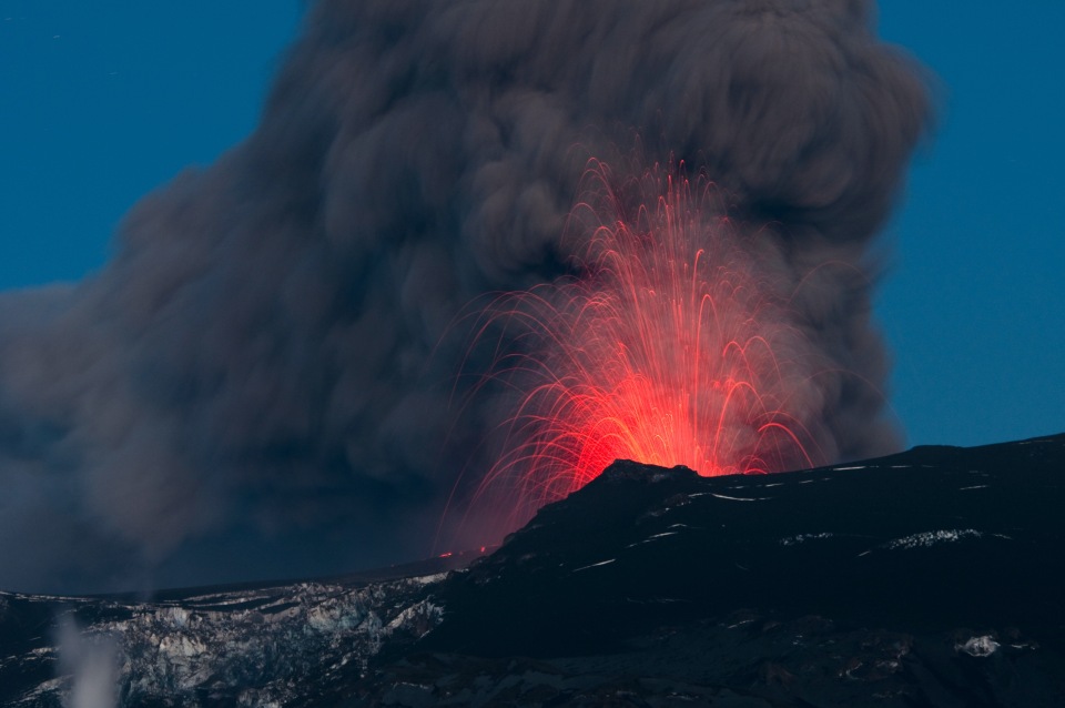
When molten material (magma) reaches the earth’s surface a volcano is formed. A volcano will erupt fragmented rock and magma (ash) and release steam and gases. New Zealand’s volcanoes are often active and are constantly monitored, for example Ruapehu, Tongariro and White Island.
Iceland has many active volcanoes because of its location on the mid-Atlantic Ridge, a divergent tectonic boundary, and its location over a hotspot. The island has 30 active volcanic systems. Ash from eruptions can spread over large distances so can affect people living a long way from the eruption. Hazards also exist close to the active vent(s).
Lahars
Lahar is an Indonesian word that describes a volcanic mudflow. When moving, a lahar looks like a mass of wet concrete that carries rock debris. Lahars vary in size and speed and can cause widespread damage.
Eruptions may trigger lahars by quickly melting snow and ice on a volcano or ejecting water from a crater lake. Lahars are also formed by heavy rainfall during or after an eruption, when volcanic ash is washed off the volcano. Some of the largest lahars begin as landslides.
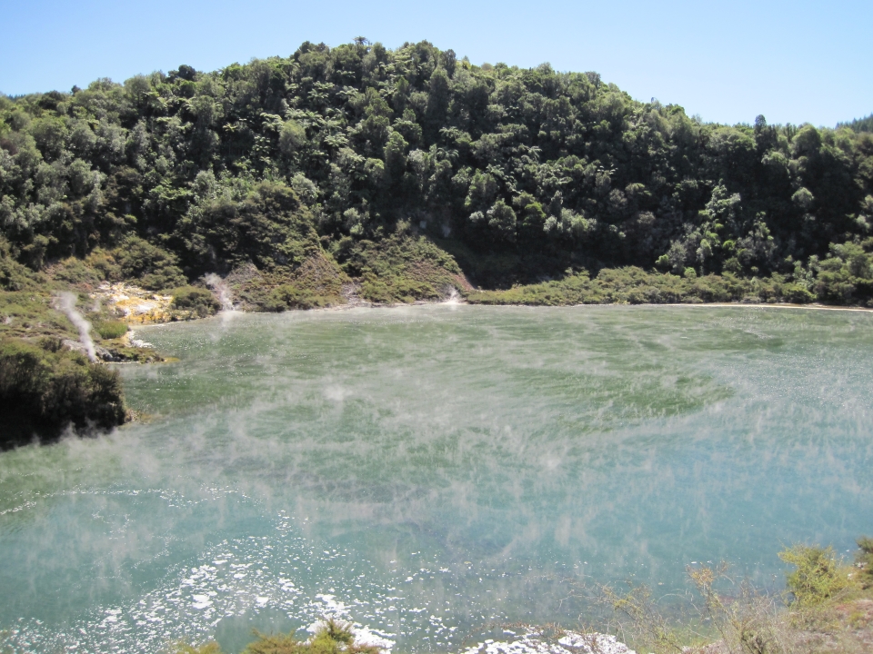
Hydrothermal activity
Hydrothermal systems are a by-product of volcanic activity. The residual (volcanic) heat at depth heats the local ground water to create the geothermal activity. Most of New Zealand’s hydrothermal activity occurs in the Taupō Volcanic Zone, an area that extends from White Island to Mt. Ruapehu.
In Iceland hydrothermal activity is harnessed to generate electricity in geothermal power plants.
Hydrothermal activity is usually confined to hot springs, geysers and warm ground. However, if they become unstable eruptions can occur. Hydrothermal processes are often acidic and can alter the nature of rocks and soils, leading to slumping and collapse of ground, which can cause damage to property and harm people. Hydrogen sulphide gas can also be emitted and if there are high levels it can be harmful.
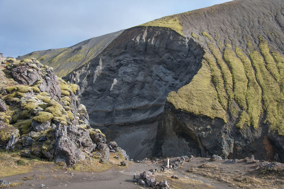
Landslides
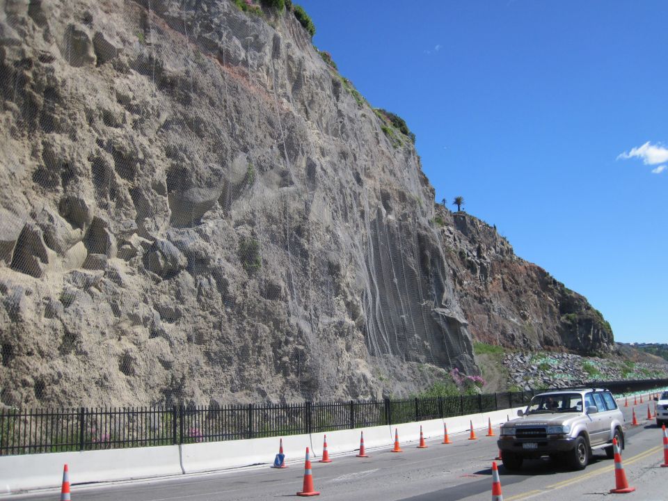
A landslide is a movement of soil, rock and debris down a slope. Landslides often happen as a result of other natural disasters, such as earthquakes, volcanic eruptions and floods (rainfall).
Landslides are common throughout New Zealand and Iceland. Serious landslides in built-up areas can cause thousands of dollars in damage and threaten lives.
Ready for a quiz? Try the 'Geohazards' interactive activity.

