

Volcano City
Exploring the Tāmaki Makaurau Auckland Volcanic Field
About this field trip
Travel to Tāmaki Makaurau Auckland to discover more about the fiery past of Auckland’s Volcanic Field Ngā Tapuwae-o-Mataoho. There are over 50 volcanoes within the Auckland Volcanic Field (AVF).
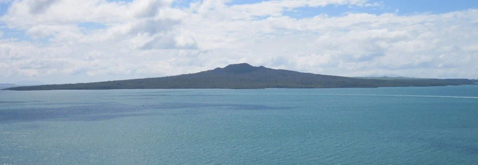
The AVF has been active for around 200,000 years. The most recent and largest volcano is Rangitoto, created around 600 years ago from at least two eruptions. As Māori became established in Aotearoa New Zealand, the maunga were valued as natural places for pā, with their rich volcanic soils and their unique form and height for easy defence.
Evidence of a hot magma source deep beneath Tāmaki Makaurau Auckland suggests there could potentially be an eruption in the future. Before a new eruption starts, scientists will be using forecasting models to try to predict when and where a new volcano will appear.
Objective
To find out how large parts of the city would be affected by the likely next eruption, and how to be prepared for the impacts of volcanic activity.
Key learning
Explore science and mātauranga behind the Auckland Volcanic Field Ngā Tapuwae-o-Mataoho.
Look at evidence of past volcanic eruptions.
Hear stories about volcanoes from mana whenua.
Visit Rangitoto, Tāmaki Makaurau Auckland’s youngest and largest volcano.
Explore the inside of a lava cave.
Investigate the impacts of a future eruption in Tāmaki Makaurau Auckland.
Meet experts in hazard preparedness and learn about how you should plan to manage the impacts of a volcanic eruption.
Student-led inquiry
Empower your ākonga to take charge of their learning journey. Encourage them to ask meaningful questions, explore resources, and embark on their own journey of volcanic hazard preparedness.
Curriculum alignment
This virtual field trip aligns with the refreshed New Zealand Curriculum (2022). It covers a range of learning areas, predominantly science and social sciences. Access guidance that supports teaching and learning to align with curriculum goals.
Educator guide
This virtual field trip aligns with Te Mātaiaho, the refreshed New Zealand Curriculum (2022). Studying Auckland's volcanic field provides a rich opportunity to integrate several learning areas. This multidisciplinary approach can enhance students' understanding of both the natural world and the societal implications of living in a geologically active area.
Curriculum flexibility
Our field trips include cross-curricular learning experiences which can be adapted to different learning areas and progressions. You can develop your teaching approach to suit ākonga interests and needs. Here are some of the most relevant curriculum areas that could relate to a study on Auckland's volcanic field:
Learning areas and achievement objectives
-
1. Understand
Key concepts:
Interconnectedness: Understand how the volcanic landscape of Auckland is interconnected with cultural, historical, and social aspects.
Impact: Grasp how geological phenomena like volcanic activity have shaped and continue to influence human activity and societal development.
Cultural significance: Recognise the deep cultural connections that Māori communities attach to volcanic landscapes and how historical narratives, including Māori perspectives, explain and relate to volcanic features.
2. Know
Information and facts:
Geological knowledge: Details about the formation, structure, and history of Auckland’s volcanic field.
Cultural histories: Knowledge of the stories and historical events linked to the volcanoes, from both Māori and Pākehā perspectives.
Societal responses: Insight into how past and present societies have responded to the challenges and opportunities presented by the volcanic landscape.
3. Do
Skills and applications:
Analytical skills: Analyse and interpret data regarding volcanic activity and its impacts.
Critical thinking: Evaluate the effectiveness of current procedures on volcanic hazard preparedness.
Creative expression: Create projects or presentations that incorporate learning about the volcanic field in a creative way, such as digital storytelling, art projects, or simulations.
Processes and participation: Engage in activities that simulate the decision-making processes involved in managing volcanic risks.
Narratives of Aotearoa New Zealand: Construct and present narratives that show an understanding of different perspectives on Auckland’s volcanoes.
-
Learning area: Nature of science
Achievement objectives:
Investigate in science: Ākonga can explore how and why volcanoes form, specifically looking at tectonic plate movements and volcanic activity.
Communicating in science: Engage with and share scientific information about the volcanic features and history of Auckland.
Learning area: Planet Earth and Beyond
Achievement objectives:
Earth systems: Understand how the Earth’s surface is shaped by geological processes, including volcanic activity.
Interacting systems: Explore how volcanic activity affects and is affected by other Earth systems (atmospheric, hydrospheric, and biospheric).
-
Achievement objectives:
Natural environments: Study the physical processes that shape natural environments and how these environments influence human activity and vice versa.
Contemporary issues: Examine the impact of volcanic hazards on urban areas and how these are managed.
-
Achievement objectives:
Technological products: Develop understanding of how technological products such as seismic monitoring equipment are used to predict and respond to volcanic eruptions.
Technological systems: Learn about the systems in place for volcanic monitoring and emergency response in Auckland.
-
Achievement objectives:
Tauanga | Statistics: Use statistical methods to analyse data related to volcanic activity, such as frequency and magnitude of past eruptions.
Ine | measurement: Calculate lava flow distances, eruption sizes, and map out safe zones based on volcanic activity data.
-
Achievement objectives:
Explore and develop ideas: Ākonga can create artistic interpretations of volcanic landscapes and eruptions.
Communicate and interpret: Discuss and display how volcanic landscapes have been represented in various art forms, and what these representations communicate about human interactions with these landscapes.
-
Achievement objectives:
Personal health and physical development: Understand the health implications of living in a volcanic area, including respiratory issues from volcanic ash and the importance of physical preparedness for evacuations.

This trip reflects the United Nations Sustainable Development Goals (SDGs), especially Goal 11: Sustainable Cities and Communities: Make cities and human settlements inclusive, safe, resilient and sustainable.
Discover more
The links below will take you to The DEVORA (Determining Volcanic Risk in Auckland) fact sheets, which aim to raise awareness about the Auckland Volcanic Field (AVF) and the importance of understanding the local environment and landscape.
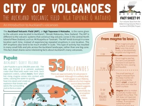
City of Volcanoes
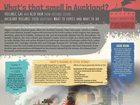
What’s that smell in Auckland?
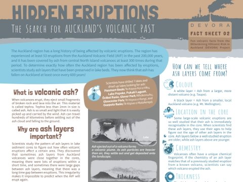
Hidden Eruptions
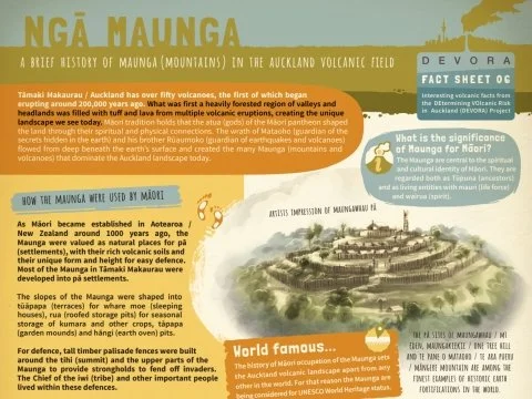
Ngā Maunga
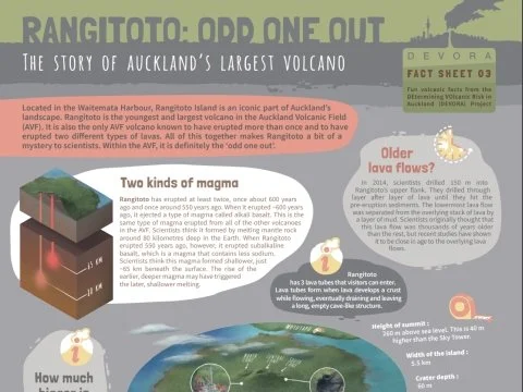
Rangitoto: Odd one out
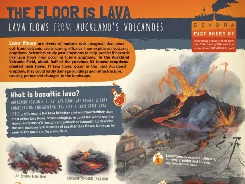
The Floor is Lava
Connect with field trip experts
Insights into people and their careers.
Meet Thomas
Thomas is a geologist and research assistant for DEVORA (Determining Volcanic Risk in Auckland).
Meet Annahlise
Annahlise is a volcanologist from the University of Auckland.
Meet Kelvin
Kelvin is a senior research fellow at Massey University. He is also Manu Taki for the DEVORA project.
Meet Graham
Graham is a principal scientist from GNS Science.
Meet Angela
Angela is the Principal Science Advisor for Auckland Emergency Management.
Meet Hannah
Hannah is an earthquake geologist and research assistant with DEVORA.
Explore the field trip videos
Join our field trip experts as we visit new places and learn new things.
What is the Tāmaki Makaurau Auckland Volcanic Field?
The Volcano city field trip hīkoi begins at Lake Pupuke, a 180,000-year-old volcanic crater between the suburbs of Takapuna and Milford on the North Shore of Tāmaki Makaurau Auckland. Here, field trip Kaiārahi Andrew talks with Thomas, a geologist and research assistant for DEVORA (DEtermining VOlcanic Risk in Auckland), about the Auckland Volcanic Field (AVF).
How many volcanoes are there in the Auckland Volcanic Field?
What are the three main volcanic features in Tāmaki Makaurau Auckland?
How can scientists determine the age of past volcanic eruptions?
The unique features of Rangitoto
You are on Rangitoto, an iconic landmark in Tāmaki Makaurau Auckland and a unique volcano amongst the many in the Auckland Volcanic Field. Volcanologist Annahlise talks more about what makes Rangitoto so special.
When did Rangitoto first erupt?
How many volcanic cones did Rangitoto make during its two eruptions?
What are the two types of basaltic lava you can see on Rangitoto?
What makes Rangitoto an “oddball” amongst others in the AVF?
Rangitoto: A kōrero with Kelvin Tapuke
Kelvin Tapuke works widely in the disaster research space, and he also has links to Ngāi Tai ki Tāmaki, an iwi whose domain includes Rangitoto. Listen as Kelvin shares a special kōrero that relates to certain features of Rangitoto.
What is the name Ngāi Tai ki Tāmaki has for the very top of Rangitoto?
What does this name translate to in English?
What is the special feature left behind from the Rangitoto eruption that shows people were living on neighbouring Motutapu Island at the time?
Understanding the volcanic hazards and risks in Tāmaki Makaurau Auckland
Graham is a principal scientist for GNS Science. He knows a lot about volcanoes and the risks they pose to people and communities. In this video, Graham delves deeper into the eruptive nature of the Auckland Volcanic Field and the hazards people face from a future eruption.
What might you see or smell leading up to a volcanic eruption?
What are the main risks to people from a volcanic eruption that could lead to widespread evacuations?
What are some of the different ways that scientists monitor volcanic eruptions?
Hazard preparedness
We’ve been given special access to the Emergency Coordination Centre at Auckland Council, where Angela, the Principal Science Advisor for Auckland Emergency Management, shares all you need to know about preparing for volcanic and other natural hazards.
What are some of the key actions you can take to be prepared for natural hazards?
What is the best way to deal with ash from a volcanic eruption?
What would you include in an emergency plan for your whānau?
Lava caves and their cultural significance
Put your hardhat on, light up a torch, and head underground to venture inside a lava cave! Meet geologist Hannah and catch up again with Kelvin Tapuke to find out how lava caves are formed and what their significance is to Ngāi Tai ki Tāmaki.
Describe in your own words how a lava cave (aka tube) is formed.
What are “lavatites”?
As well as carrying the mauri of different atua (and therefore the life force of the tribe) associated with certain maunga in Tāmaki Makaurau, what practical uses did lava caves have?
Take the Google Earth tour
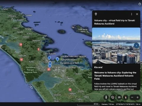
Take the Google Earth for Web Tour
A virtual tour of the field trip with GIS mapping, 3D locations, 360° panoramic images, videos, and further information.
Web conference
Replay the field trip web conference
Replay the Volcano city web conference with Annahlise from the University of Auckland Waipapa Taumata Rau and Graham from GNS Science Te Pū Ao.
Resources and links
EQC Toka Tū Ake museums and schools programme
Part of EQC's outreach work to help raise hazard-aware Kiwis and support the understanding of natural forces that have shaped the land.
GNS Science
Explore and find out more about New Zealand's volcanoes and volcanic hazards.
GeoNet
Check recent earthquakes and volcano alert levels, and when and where the latest earthquake occurred.
Get Ready
Learn more about natural hazards in Aotearoa and how to prepare for these.
What's the Plan Stan?
A free resource to support schools, teachers and students to develop the knowledge and skills to prepare for emergency events.
Science Learning Hub
New Zealand education resources, including: