You can contact LEARNZ, part of CORE Education, at:
Postal Address:
PO Box 13 678,
Christchurch 8141,
New Zealand
The 2011 Canterbury Earthquakes caused significant damage. Most of the damage was in areas surrounding the epicentres. The centre of Christchurch City and the eastern suburbs were badly affected.
The Canterbury earthquakes are not the largest earthquakes in New Zealand's history, but the February quake has lead to more costly damage than for any other natural disaster in New Zealand.
After the first Canterbury earthquake the National Crisis Management Centre in the basement of the Beehive in Wellington was activated. Civil Defence declared a state of emergency for Christchurch, the Selwyn District and the Waimakariri District. The February earthquake led to a state of national emergency. This meant that trained people from many different organisations from across the country could work on making the area safe again by:
The New Zealand Army was sent to the worst affected areas within Canterbury. Cordons were set up to protect people from falling debris near damaged buildings. All schools were closed so buildings could be inspected. International agencies also came to the aid of Christchurch.
Electricity to 75 per cent of the city was cut in the September quake. In February most of the city was without power. Most households had power within two to three days, but some regions took much longer. Several buildings caught fire after the earthquake.
Damage to buried pipes allowed sewage to contaminate the water supply so people had to boil their tap water. Beaches and waterways were polluted and closed to swimming for many months.
Christchurch airport was closed until runways had been checked.
Four hundred thousand tonnes of silt from liquefaction had to be removed from streets and properties.
Many of the most badly-affected structures in both Christchurch and the surrounding districts were older buildings with brick frontages, or buildings in areas where liquefaction occurred. A fund was set up to try and repair damaged historic buildings.
Many roads were closed and traffic diverted, making it difficult to reach certain parts of the city. Businesses lost income as damaged buildings were closed. Customers found it difficult to get to certain shops due to cordons and road closures. Many businesses have had to relocate, some for the second time since the first earthquake back in September 2010.
Over 5000 properties were classified as being in the red zone, meaning the land was not suitable for building on. Over 10,000 homes needed to be demolished and rebuilt. Hundreds of buildings in the centre of the city have been demolished.
The disaster is estimated to cost insurers 10-20 billion dollars.
(Pronounced “lick-wi-fack-shin”)
Liquefaction occurs when soil loses strength and stiffness due to earthquake shaking. Loose, sandy soils behave like a liquid as water is forced up to the surface.
Liquefaction affected large areas of Christchurch because many suburbs are built on soft soils or sand. Damage from liquefaction may have been worsened by the high water table from a wet winter.
Liquefaction caused:
Read the Environment Canterbury (ECan) fact sheet on liquefaction to find out more (2Mb).
One hundred and sixty three primary and secondary schools were affected by the earthquake, most of which were closed for three weeks. Ninety schools had full structural clearance and were able to reopen. Twenty four had reports indicating further assessment and 11 were seriously damaged.
Due to the damage of a number of secondary schools, many were forced to share with others. One school used the ground in the morning and the other in the afternoon. Nine "learning hubs" were established throughout the city to provide resources and support for students needing to work from home. Some students relocated to other centres – by 5 March, a total of 4879 Christchurch students had enrolled in other schools across New Zealand.
In September 2012, Minister of Education Hekia Parata announced plans to permanently close and/or merge a number of schools due to falling roll numbers and quake damage.
One school that was created from this decision is Waitākiri School. Waitākiri School was created through the merger of Burwood and Windsor Schools. Both schools were affected by the 2010 and 2011 Christchurch earthquakes. Burwood was one of the hardest hit areas with over 50 per cent of the school zone designated "Red Zone" and a loss to the school roll in excess of 200 children.
The first year for the new school was 2014, but there were many challenges:
Waitākiri School is where this field trip will be based.
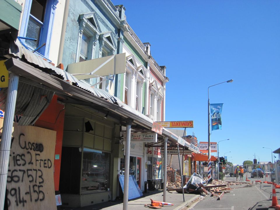
,The fronts of some Christchurch city buildings collapsed during the first September 2010 earthquake. Image: LEARNZ.
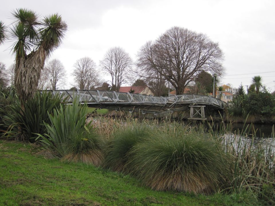
,This bridge across the Avon River was buckled during the first Canterbury earthquake. Image: LEARNZ.
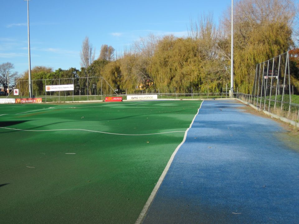
,Liquefaction caused widespread damage in eastern suburbs as water was forced to the surface during the shaking. This is Porritt Park where the hockey turf was buckled by liquefaction. Image: LEARNZ.
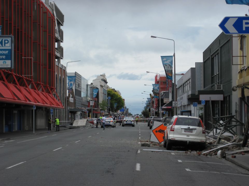
,Large areas of central Christchurch were cordoned off following the quakes. Image: LEARNZ.
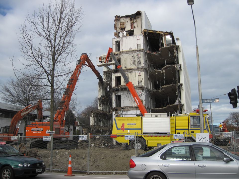
,Even modern buildings which did not collapse during the earthquakes need to be demolished as they are not able to be repaired. Image: LEARNZ.
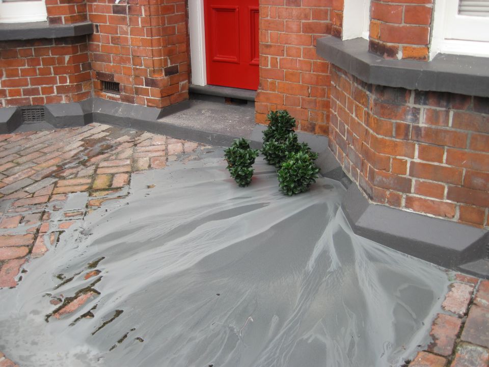
,Liquefaction produced 'mini sand volcanoes' as water, sand and silt were forced to the surface. Liquefaction caused some buildings to sink Image: LEARNZ.
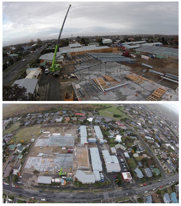
Some Christchurch schools were closed or merged. Waitākiri School was created through the merger of Burwood and Windsor Schools. Image: Darren Scott.
How do you think the effects of the Canterbury earthquakes could have been reduced?