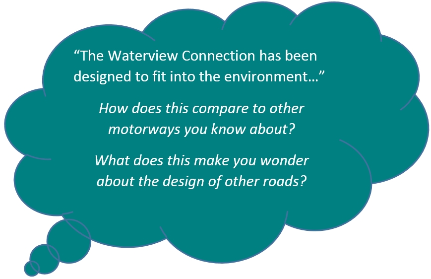
When planning the motorway, urban design needed to be considered so that the motorway fits into the environment, is more sustainable and improves the local area.
When planning the motorway the design takes into account how it can be built so that it fits into the environment and improves the local area.
The Waterview Connection project includes urban design and landscaping designed to deliver a better environment for local communities by;
- providing more walking and cycling paths
- improving and adding recreational facilities
- adding safe parks and reserves
- looking after local plants and animals
- preserving places and buildings with historic value
Shared paths
A series of walking and cycling connections within and between the parks and reserves will be developed. A series of new pedestrian footbridges is also planned, including the 300m long architecturally designed Hendon footbridge that goes over the motorway in the south.
Part of the network of paths will connect the existing cycle routes along the Northwestern (SH16) and Southwestern (SH20) motorways. It will be 3m wide so that it can be shared by families, pedestrians, skateboarders and cyclists. There will also be narrower connecting pedestrian-only paths.
Recreational facilities
In the south new sports fields, a skatepark, volleyball and basketball courts will be built at the Alan Wood Reserve.
In the north a new skatepark, BMX track and playground at Waterview are planned.
Oakley Creek improvements
Traditionally the Oakley Creek, known as Te Auanga by Māori, ran through the area. It was put into a man-made channel in the 1930s by European settlers. Areas of the Oakley Creek have now been redeveloped to replicate the flow of a more natural stream, rather than the excavated drainage channel it had been for a long time.
Local plants and animals
Before any work began at the Alan Wood Reserve protected copper skinks were moved to a new home. Six hundred short finned and long finned eels were also moved from the old to the new sections of Oakley Creek. Plants and seeds of a geranium thought to grow only in the reserve were collected. These will be replanted in the reserve.
Native plants have been planted alongside Oakley Stream and more will be planted in the parks and reserves in the area.
Archaeological sites
Archaeological sites have been identified near the Waterview Connection Project works. These include;
- Māori shell midden sites
- evidence of Māori food storage pits
- Māori living terraces along Oakley Creek
- Early European industries including the early flour mill (Star Mills), Garrett Brothers Tannery and quarry at Waterview Inlet.
The project’s design has avoided known archaeological sites as much as possible. Qualified archaeologists monitor earthworks and other ground disturbing activities such as building removal and tree clearance in case treasures from the past are unearthed.
Ready to try a quiz?

The Waterview Connection project is designed to try and improve the environment for local communities by;
- making more walking and cycling paths
- improving and adding sports and leisure facilities
- adding safe parks and reserves
- looking after local plants and animals
- looking after places and buildings with historic value
Shared paths
A series of walking and cycling paths within and between the parks and reserves will be built. A series of new footbridges is also planned.
Part of the network of paths will connect the existing cycle routes along the Northwestern and Southwestern motorways. It will be 3m wide so that it can be shared by families, walkers, skateboarders and cyclists. There will also be smaller walking paths.
Facilities for recreation
In the south new sports fields, a skatepark and volleyball and basketball courts will be built at the Alan Wood Reserve.
In the north a new skatepark, BMX track and playground at Waterview are planned.
Oakley Creek
In the past the Oakley Creek (Te Auanga) ran through the area. It was put into a man-made channel in the 1930s by European settlers. Areas of the Oakley Creek have now been changed to make it more like a natural stream, rather than the channel it had been for a long time.
Local plants and animals
Before work began at the Alan Wood Reserve, copper skinks were moved to a new home. Six hundred short finned and long finned eels were moved from the old to the new parts of Oakley Creek. Plants and seeds of a geranium thought to grow only in the reserve were collected. These will be replanted in the reserve.
Native plants have been planted alongside Oakley Stream and more will be planted in the parks and reserves in the area.
Historic sites
Historic sites have been identified near the Waterview Connection Project works. They include;
- Māori shell midden sites
- old Māori food storage pits
- Māori living terraces along Oakley Creek
- An early flour mill (Star Mills), Garrett Brothers Tannery and quarry
The project’s design has avoided known historic sites as much as it can. Earthworks have been carefully done so that if anything of value is dug up it can be collected and looked after.
Ready to try a quiz?
Cook Islands Maori keywords:
| Oakley Creek |
Oakley Creek |
| akara anga |
design |
| ara |
path, track |
| ana |
bridge |
| aotini taporoporoia |
environment |
Find out about a roading project in your area and how it will impact on local people and the environment.
Find out about a roading project in your area and how it will impact on local people and the environment.


