Monitoring earthquakes
GNS Science runs the GeoNet project. EQC funds this project. GeoNet monitors New Zealand's earthquakes, large and small. It also monitors our active fault lines to understand past events and prepare for the future.
Monitoring active volcanoes
There are 12 active volcanic areas in New Zealand. The chance of an eruption affecting a large area is low in any one year. But New Zealand still needs to prepare for eruptions.
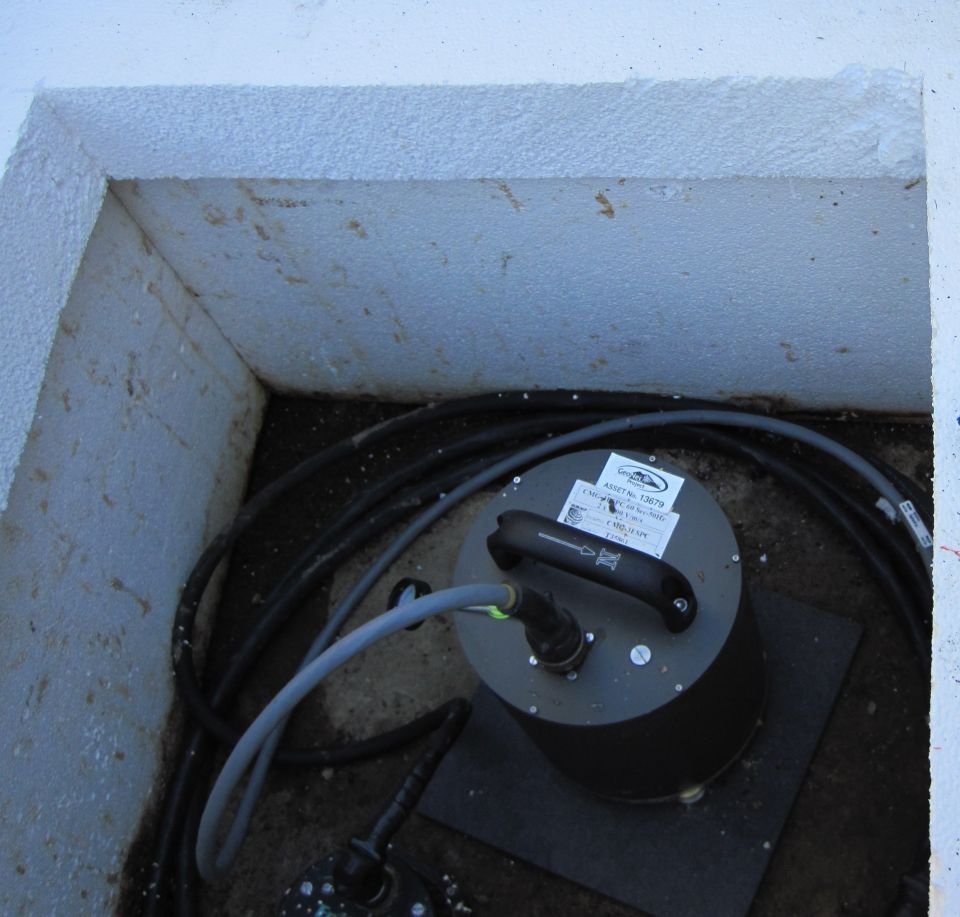
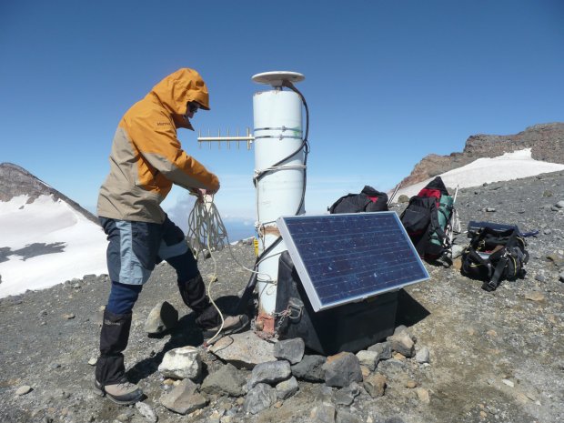
GeoNet monitors New Zealand's active volcanoes. Equipment picks up the early signs of increasing volcanic activity. This equipment is also used to:
- measure the impacts of eruptions
- model future eruptions.
Warning signs
Before a volcanic eruption magma moves up towards the surface. This can cause:
- earthquakes
- increase in hydrothermal activity
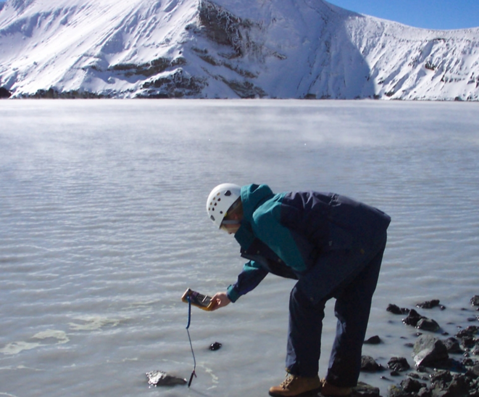
- changes in temperature of hydrothermal areas
- changes in gases and heat coming from volcanic vents
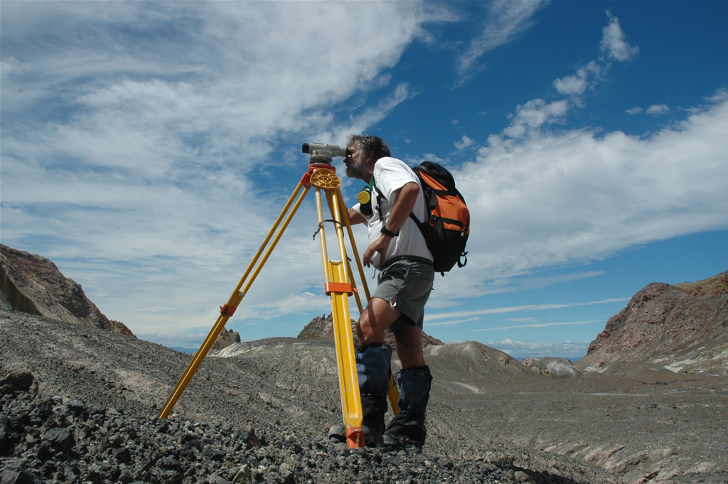
- swelling or sinking of the ground
The ECLIPSE Programme
To prepare for future eruptions we need to know what type of eruptions could happen. The ECLIPSE programme aims to understand New Zealand’s largest volcanic eruptions. This knowledge will help people prepare for future eruptions.
The Taupō Volcanic Zone (TVZ) often shows signs of volcanic unrest. This activity does not always lead to eruptions. Knowing when an eruption will happen and how big it will be is very difficult. This is what scientists in the ECLIPSE team are working on. The team brings together many New Zealand and overseas experts.
The ECLIPSE Programme aims to:
- Understand the activity levels of the TVZ better
- Find out what causes changes between activity levels and what triggers an eruption.
- Create tools to help experts respond to an eruption.
- Create models to show possible impacts of future eruptions.
- Come up with ways to reduce the impacts of future eruptions.
Ready for a quiz? Try the "Monitoring Volcanoes" activity.


